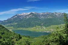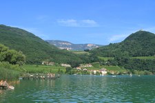
From Lake Caldaro the ruin can be reached in a short time - a hike for the whole family
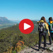
Image gallery: Hike to the Castelchiaro ruin
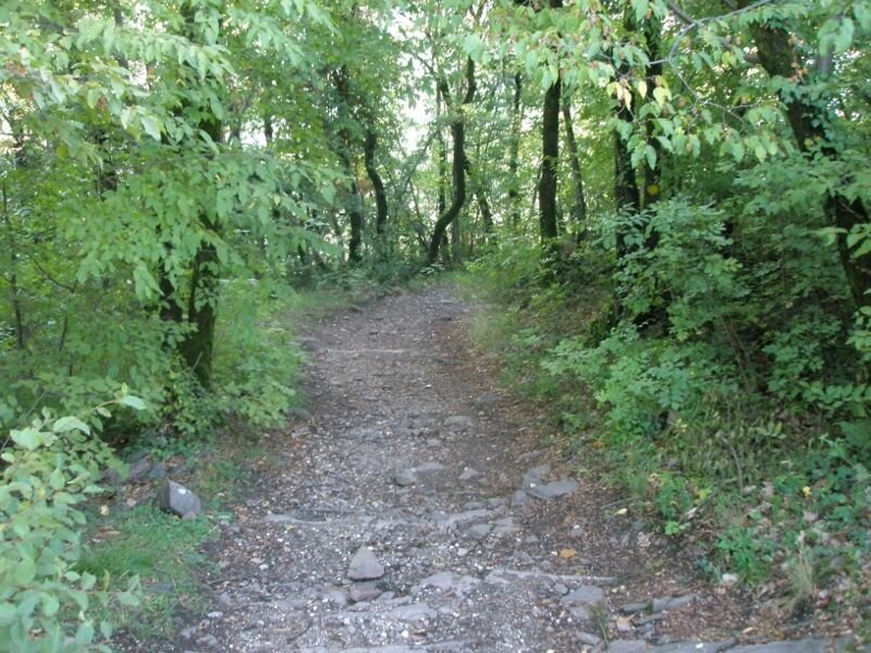
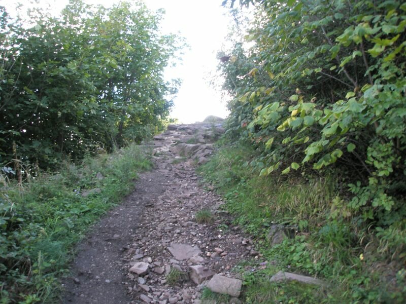
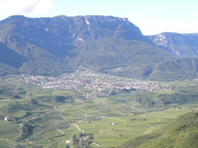
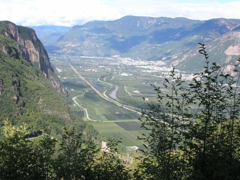
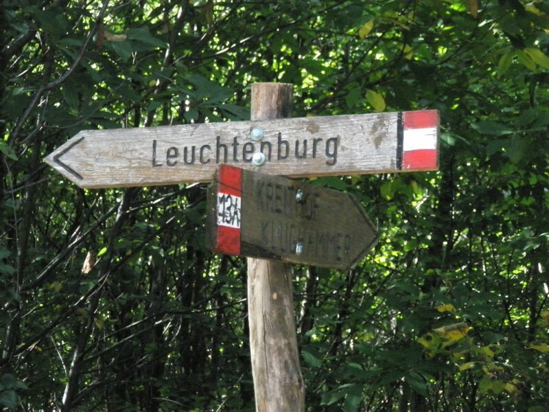
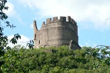
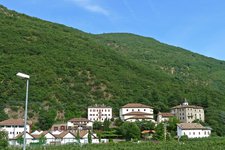
We, two women and four children aged 3 to 8 years, park our car a little above Lake Caldaro in the district of Campi al Lago, opposite S. Giuseppe al Lago. The small car park near the forest is on the right side of the road, just before the road sign announcing the vineyard site "Kreith". A signpost tells us that we have to take path no. 18, which is actually the only one that leads to Castelchiaro castle (Leuchtenburg, in German) respectively to the "Rosszähne". The path ascends a little steeply, but soon we come to a wide forest road, which can also be managed by cyclists. As if to prove it, we also meet some mountain bikers who pedal pretty hard. We now have the choice of taking the long (approx. 50 min.), wide path or following a short, steep trail, which is also often used by other people. A knight's castle wants to be conquered and in addition, it is important to explore the ruins of the Castelchiaro extensively. So the boys decide to take the intensive, shorter version of the hike.
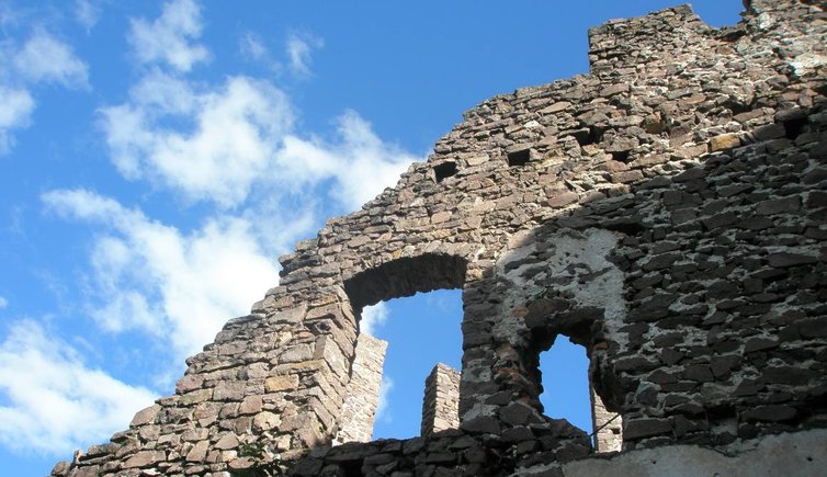
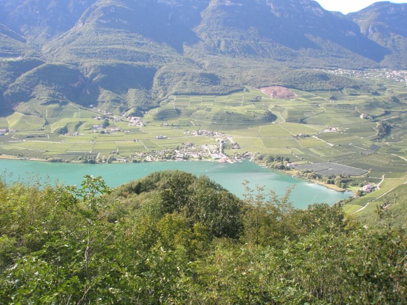
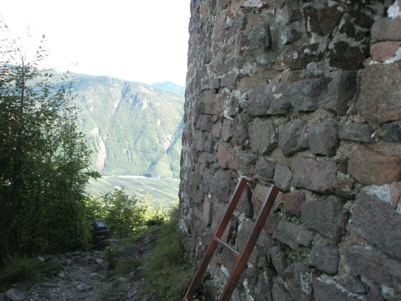
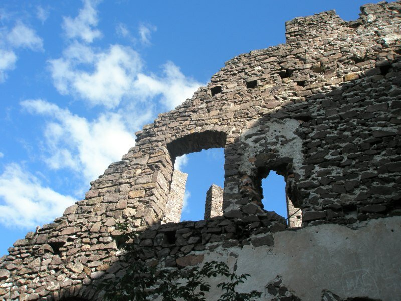
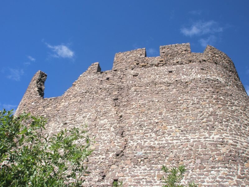
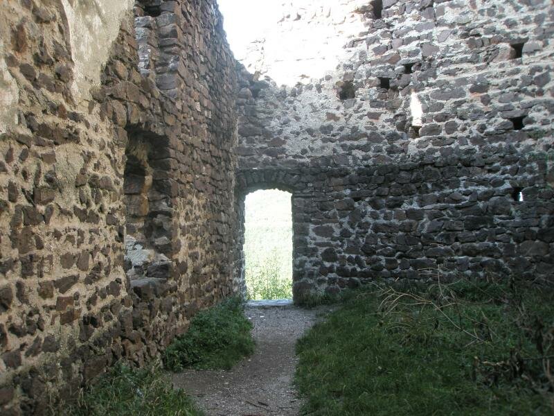
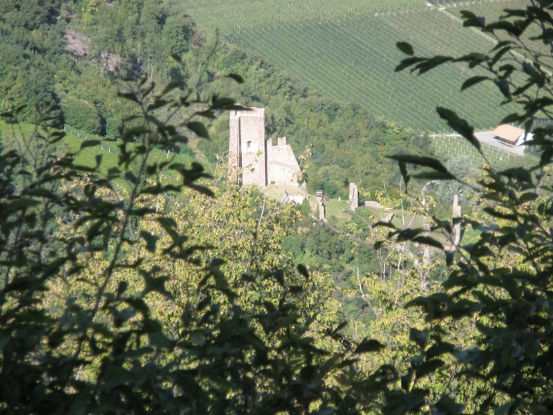
They are very motivated, the action for the mothers and the youngest knight is a little more sweaty. After approx. 15 minutes, however, the time has come: "Castle in sight" is the motto and we are already at the entrance to Castelchiaro. Inside, the boys look, climb, check and discuss. And because it gets a bit chilly in the shade of the walls, we climb out again and move to sunnier places. Also to the flag, which is clearly visible from a distance, we pass through mysterious bushes or along the castle walls. A small snack at the edge of the castle strengthens us for the descent. We now walk along the wider paths and soon we find our entry point from before. Arriving at the car park we are all pleasantly tired, the afternoon in the forest and at the castle was really worth it.
Author: RD
-
- Starting point:
- Campi al Lago, small parking space near Kreith
-
- Overall time:
- 01:30 h
-
- Total route length:
- 3,7 km
-
- Altitude:
- from 307 m to 574 m
-
- Altitude difference:
- +267 m | -267 m
-
- Signposts:
- no. 18
-
- Destination:
- Castelchiaro Castle
-
- Recommended time of year:
- Jan Feb Mar Apr May Jun Jul Aug Sep Oct Nov Dec
-
- Download GPX track:
- Hike to the Castelchiaro ruin
If you want to do this hike, we suggest you to check the weather and trail conditions in advance and on site before setting out.