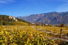
In the southernmost corner of South Tyrol, near Cauria above Salorno, the 1,625 m high mountain called Monte Prato del Re is located: The wooded rock can be climbed in an easy hike
Image gallery: Hike from Cauria to the Monte Prato del Re
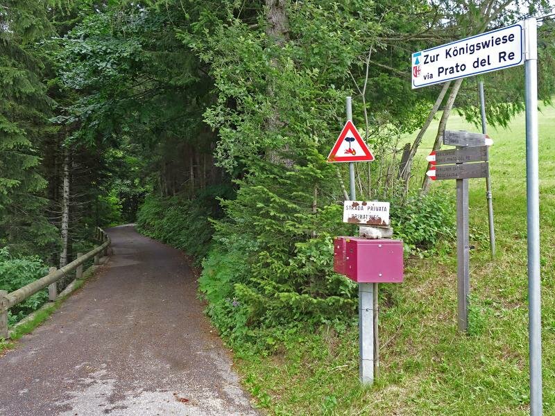
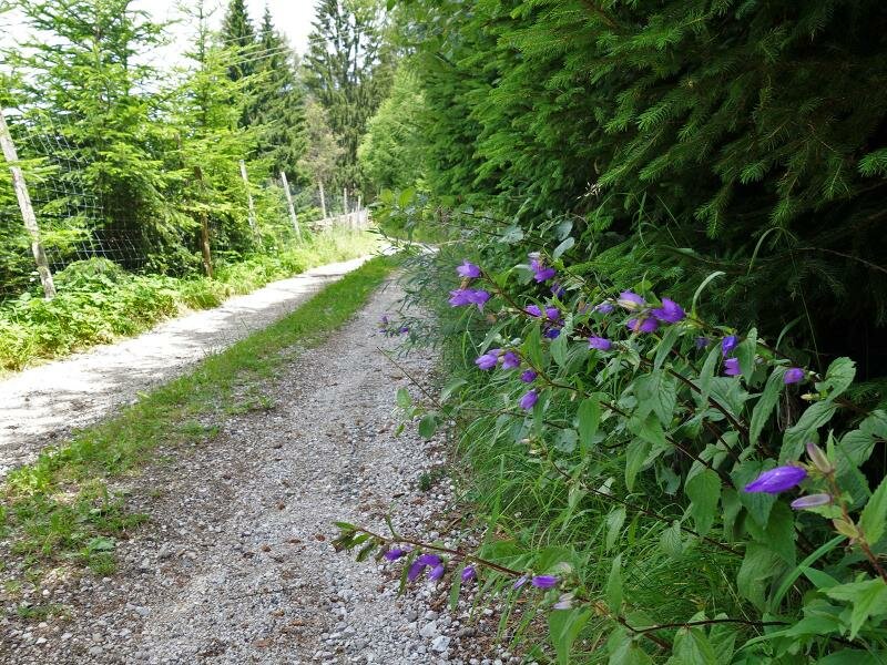
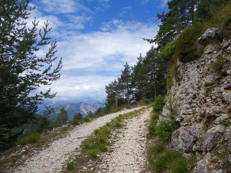
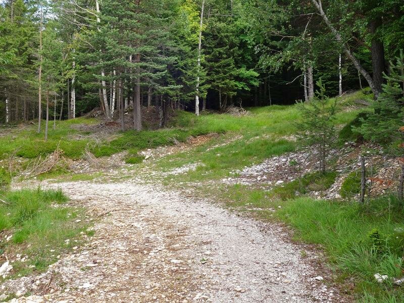
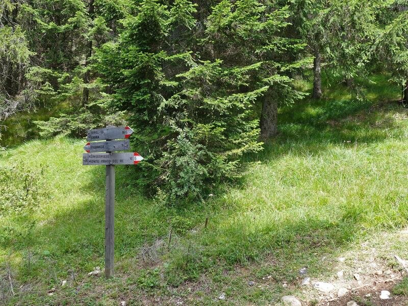
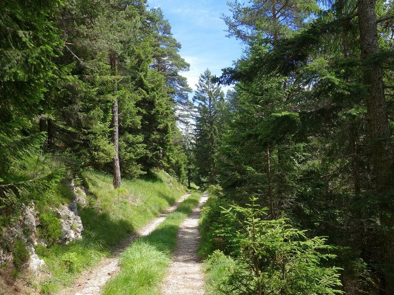
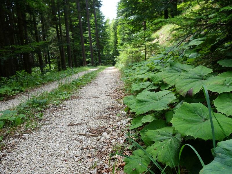
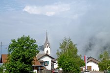
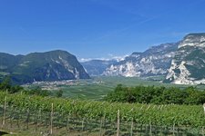
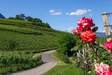
In spite of its relatively easy accessibility, the Monte Prato del Re (Königswiese), a mountain in the Monte Corno Nature Park, is hardly visited and therefore particularly untouched. Perhaps it is because there is no mountain hut which offers food and drink. Our starting point Cauria (Gfrill), a little mountain village, can be reached via the road from Salorno. Shortly before the village, there is a parking on the left side of the road. On foot we follow the road towards Cauria, after about 150 m the road 'Zur Königswiese' branches off to the left. Following this we soon reach the forest path 'Königswiese' which we take. Past a few farms we enter the wood.
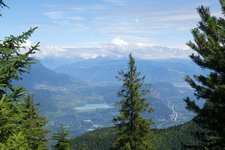
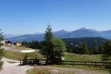
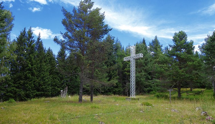
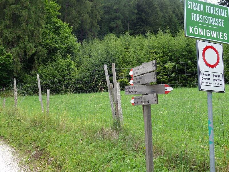
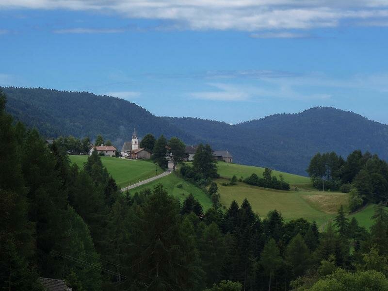
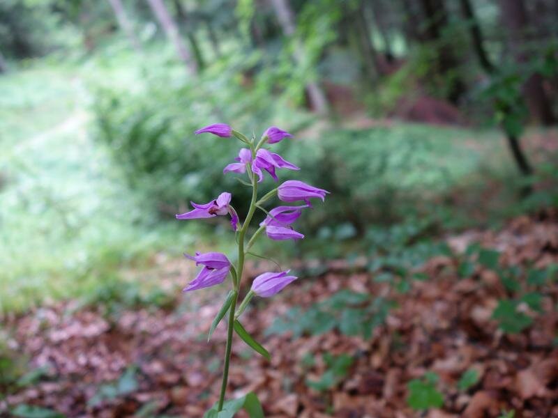
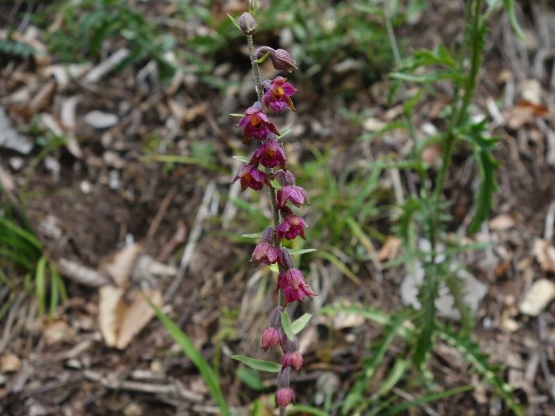
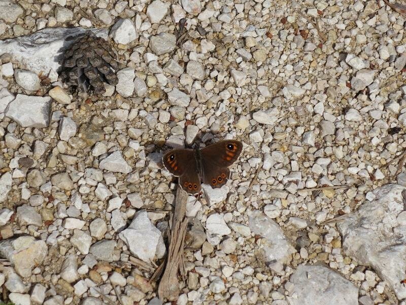
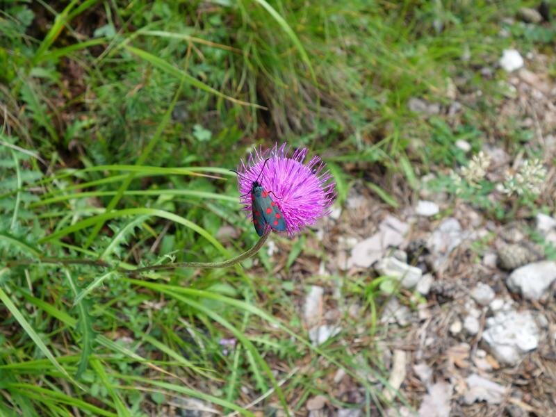
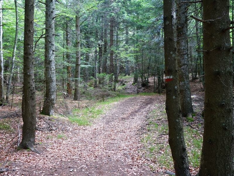
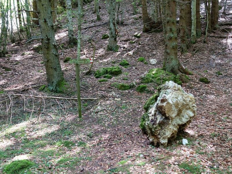
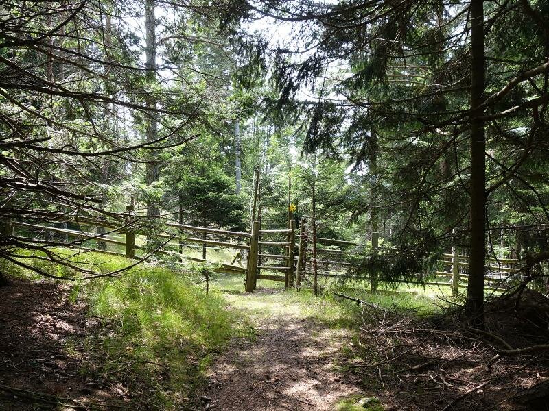
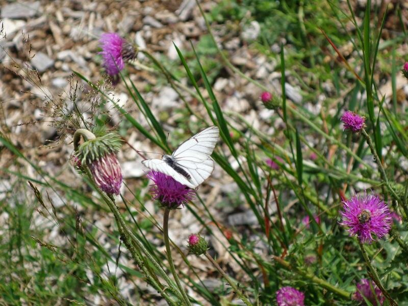
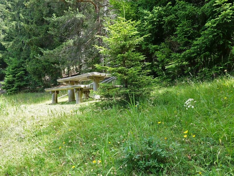
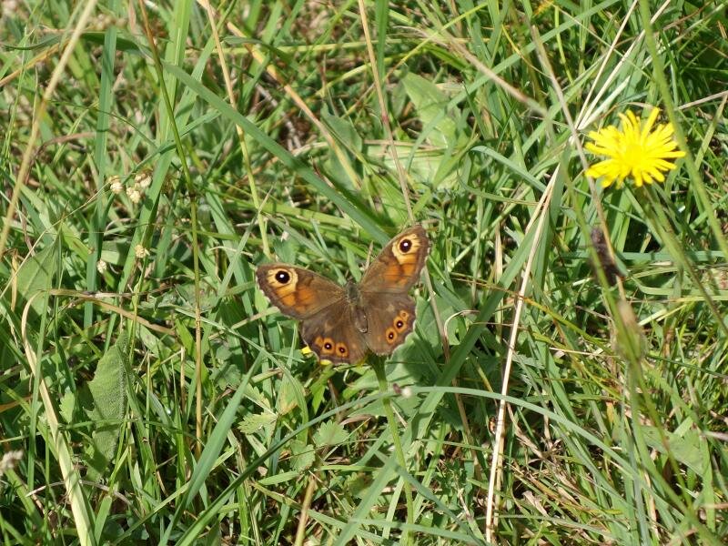
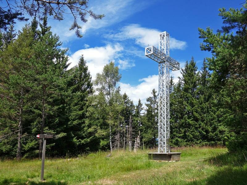
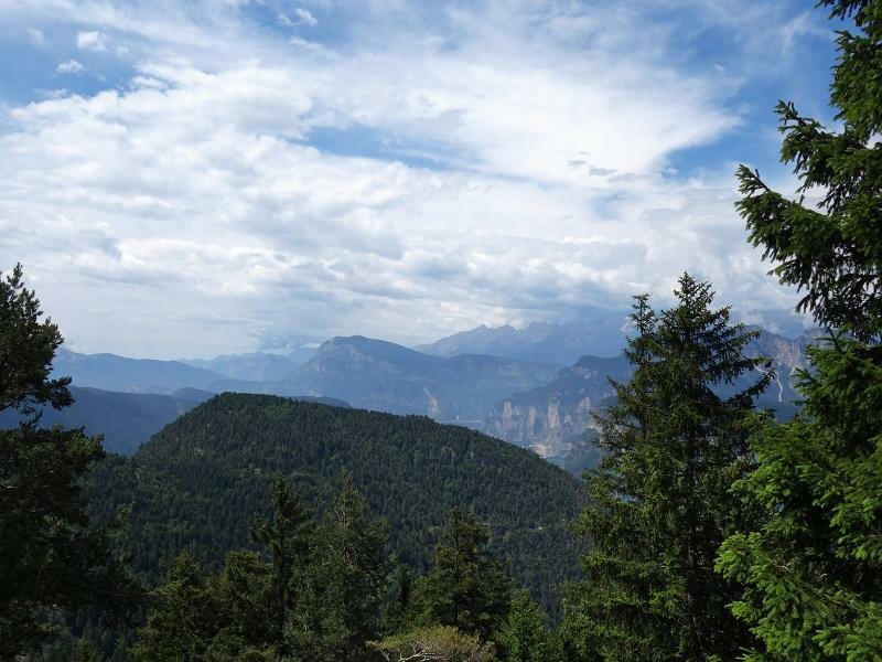
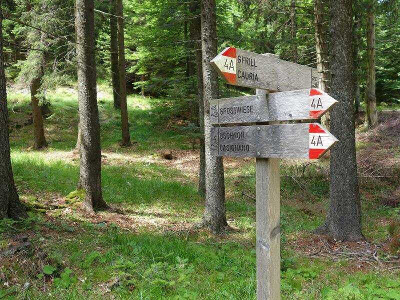
At the turn-offs we keep left and follow the forest road for about 1.5 km. Then we reach the junction where we take the forest path to the right. It leads us straight to the peak of the Monte Prato del Re. This 1 km long section along the forest path is the most difficult of the whole hike. Passing the summit cross we walk to the viewpoint where we find a bench. Here we enjoy our picnic. Besides the view towards south we can also discover some things on the dry meadow, such as countless, also rare, butterfly species. For the descent we choose, after about 300 m, the forest path (left at the junction), on which we return to the farms and then to the car park at the starting point.
Author: AT
Experienced: July 2018
Last update: 2026
-
- Starting point:
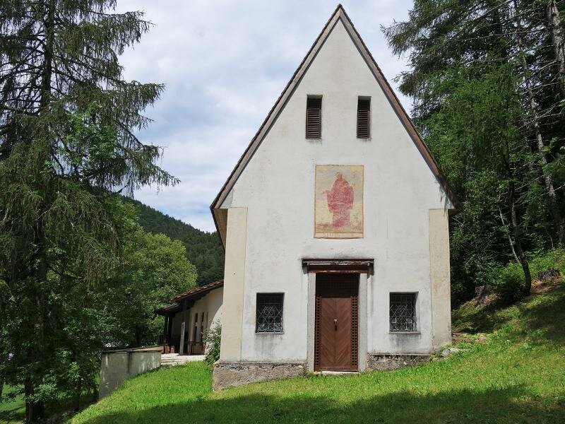
- Cauria (Salorno) near the Maria del Prato Chapel
-
- Overall time:
- 02:50 h
-
- Total route length:
- 8,6 km
-
- Altitude:
- from 1.277 m to 1.607 m
-
- Altitude difference (uphill | downhill):
- +388 m | -388 m
-
- Signposts:
- forest road Königswiese, Monte Prato del Re
-
- Destination:
- Königswiese / Monte Prato del Re
-
- Recommended time of year:
- Jan Feb Mar Apr May Jun Jul Aug Sep Oct Nov Dec
-
- Download GPX track:
- Hike from Cauria to the Monte Prato del Re
If you want to undertake this hike, we recommend checking the weather and trail conditions in advance and on site before starting this hike!