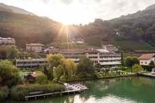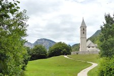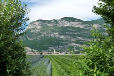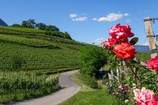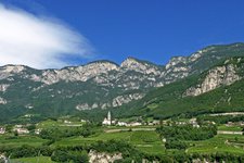
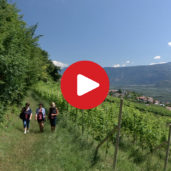
The way from Cortaccia to Favogna is a beautiful hike with an altitude difference of 850 metres
Image gallery: Hike from Cortaccia to Favogna
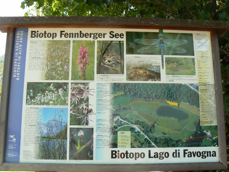
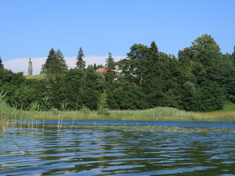
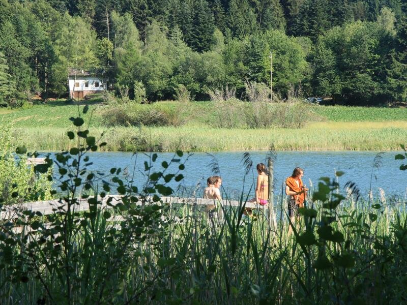
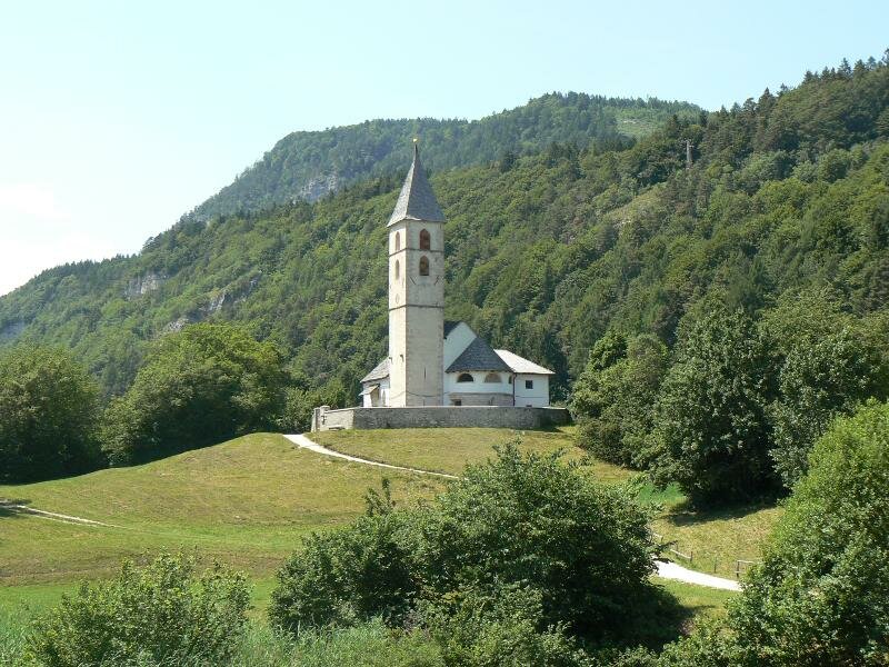
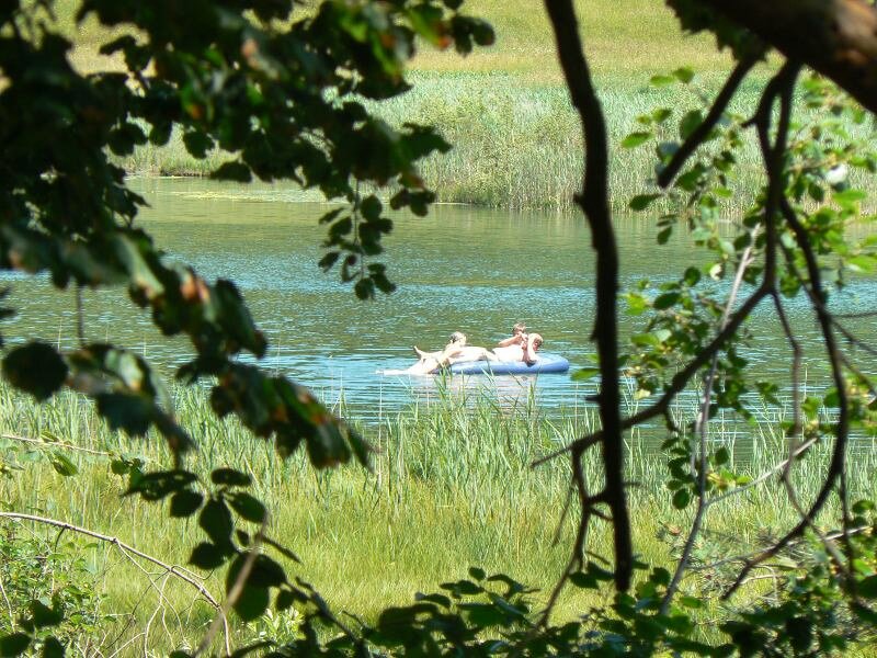
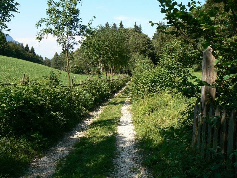
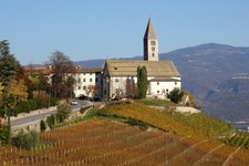
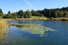
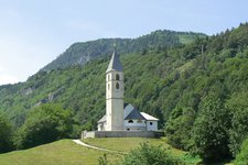
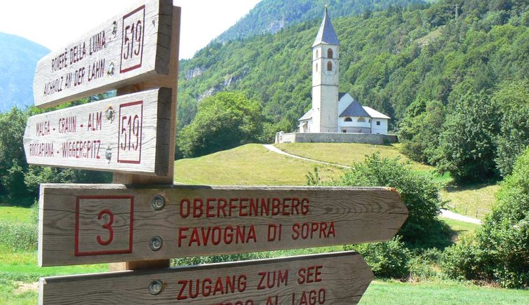
Start in the village centre of Cortaccia, hike along the Grubenweg path and continue on path no. 7 towards Penon, where the Roman path no. 2 takes you to the Fennhals refuge. From this place you walk towards a pretty lake called Lago di Favogna.
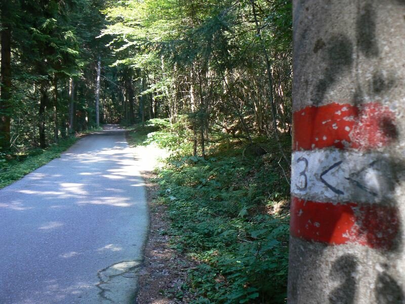
Once arrived at the lake, you continue on path no. 3, which takes you back to the starting point. Sturdy shoes are a must!
-
- Starting point:
- village centre of Cortaccia
-
- Overall time:
- 07:20 h
-
- Total route length:
- 21,2 km
-
- Altitude:
- from 292 m to 1.181 m
-
- Altitude difference (uphill | downhill):
- +1071 m | -1071 m
-
- Route:
- Cortaccia - Penone - Roman path - Fennhals - Lake Favogna
-
- Signposts:
- no. 7, 2, 3
-
- Recommended time of year:
- Jan Feb Mar Apr May Jun Jul Aug Sep Oct Nov Dec
-
- Download GPX track:
- Hike from Cortaccia to Favogna