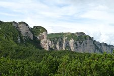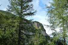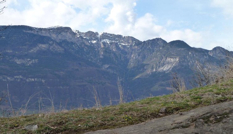
The Roen is a 2,116 m high mountain, where physical fitness and true hiking enthusiasm are needed
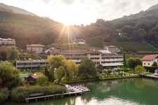
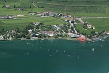
Image gallery: Hike from Termeno to the Monte Roen


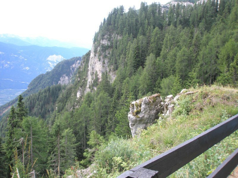
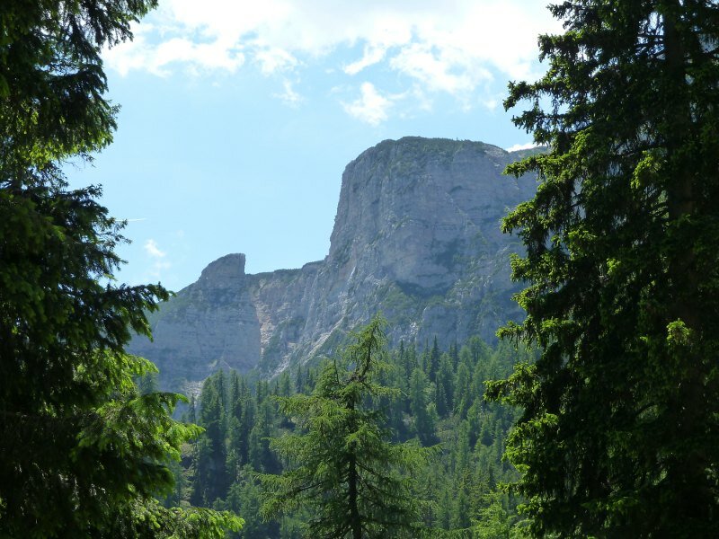
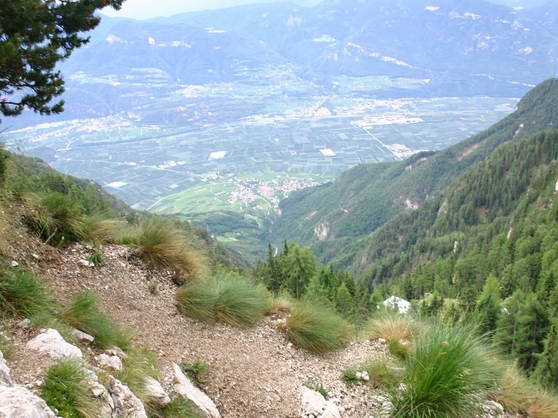
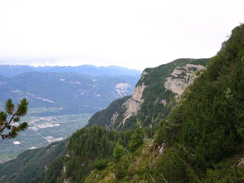
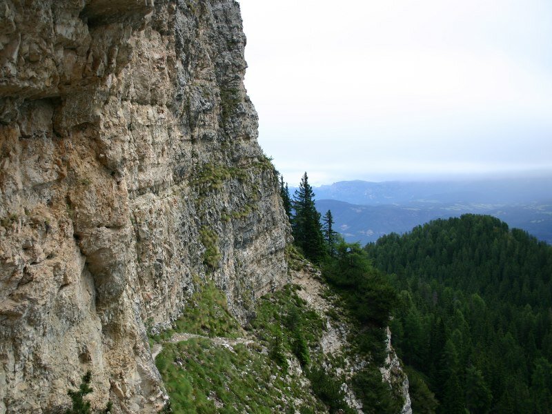

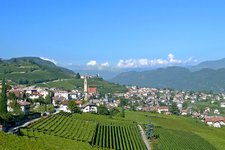
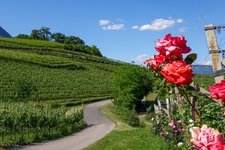
The difference of altitude amounts to 1,840 m and the estimated walking time adds up to 8-9 hours. We start in Termeno Rechtental and hike to the Gummererhof farm inn. Then we continue on path no. T/10 until we reach the Rif. Oltradige (Überetscher Hütte). From here, the climbing route no. 523 takes you to the summit of Mt. Roen. Here we enjoy a stunning scenery and a breathtaking view!
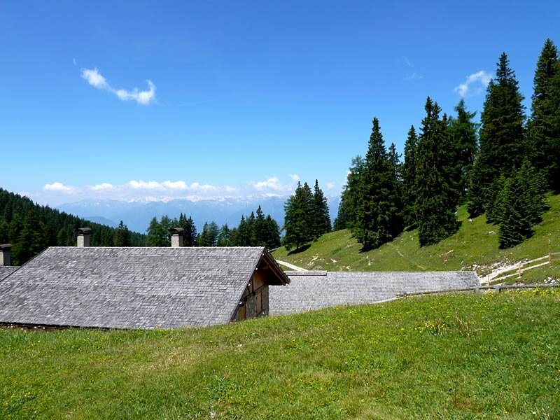
On our way back we follow the signpost Romeno Alm, pass again the Rifugio Oltradige al Roen mountain hut - or walk across the Giovo di Coredo - and continue on path no. 501 - or path no. 6 - towards Termeno. Sturdy shoes are obligatory!
-
- Starting point:
- Rechtenthal near Termeno
-
- Overall time:
- 08:00 h
-
- Total route length:
- 16,2 km
-
- Altitude:
- from 352 m to 2.116 m
-
- Altitude difference (uphill | downhill):
- +1843 m | -1843 m
-
- Signposts:
- no. T/10, 523, 501, 6
-
- Destination:
- Roen
-
- Resting points:
- Rifugio Oltradige, Romeno mountain hut
-
- Recommended time of year:
- Jan Feb Mar Apr May Jun Jul Aug Sep Oct Nov Dec
-
- Download GPX track:
- Hike from Termeno to the Monte Roen
If you want to do this tour, we suggest you to check the weather and trail conditions in advance and on site before setting out.