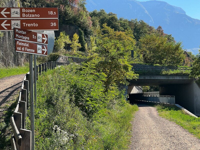
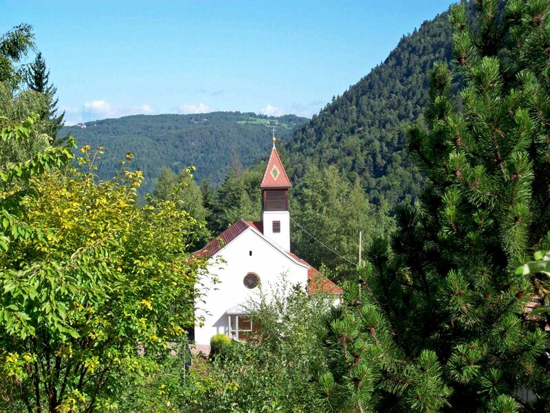
From Egna to San Lugano there is a 900 m altitude difference to overcome - the Vecia Ferrovia follows the tracks of the former Val di Fiemme railway
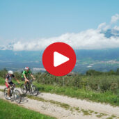
Image gallery: MTB tour along the Vecia Ferrovia
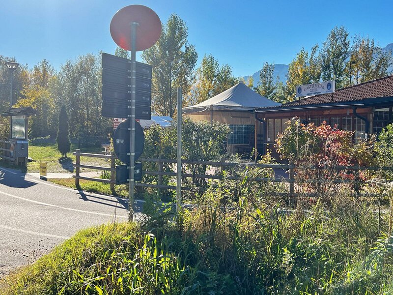
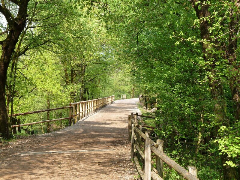
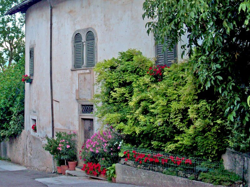
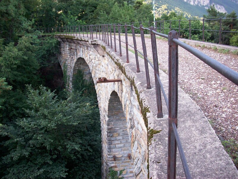
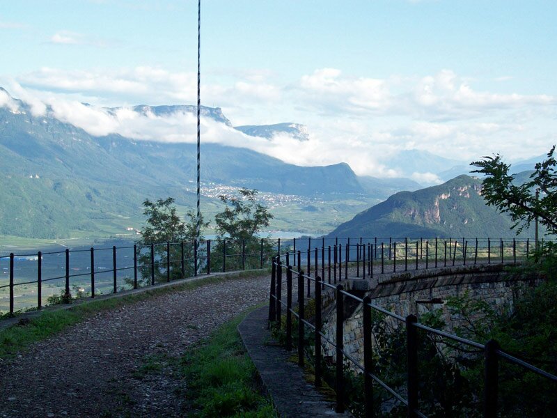
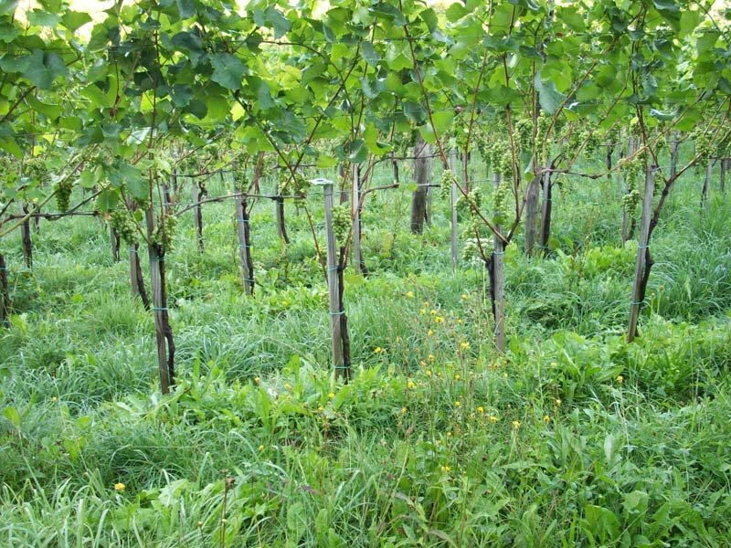
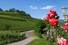
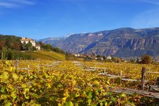
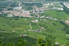
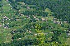
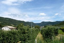
There is a car park on the state road north of Egna at the 'Imbiss Castelfeder' snack station. At this level, a steep road branches off to the right uphill to the Castelfeder hill. This very short climb is already finished after only 100 metres - because here we turn into the 'Bahnweg', the Vecia Ferrovia. The route now leads gently upwards through a landscape characterised by vineyards and oaks. After a few bends, we see the ruins of Castelfeder on the left. We continue through the picturesque village of Pinzano to the vineyards of Glen. Soon after the viaduct of Glen, the road climbs through forests to Doladizza.
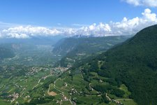
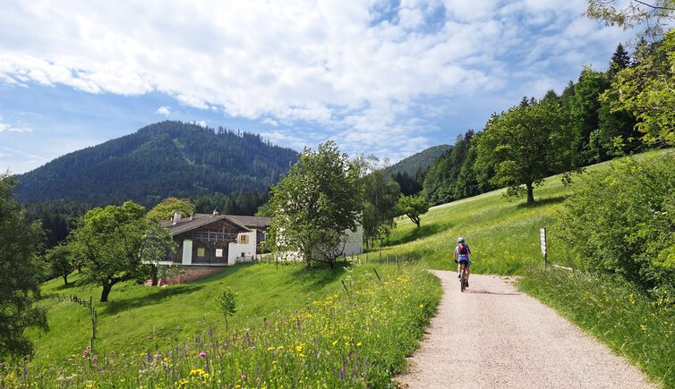
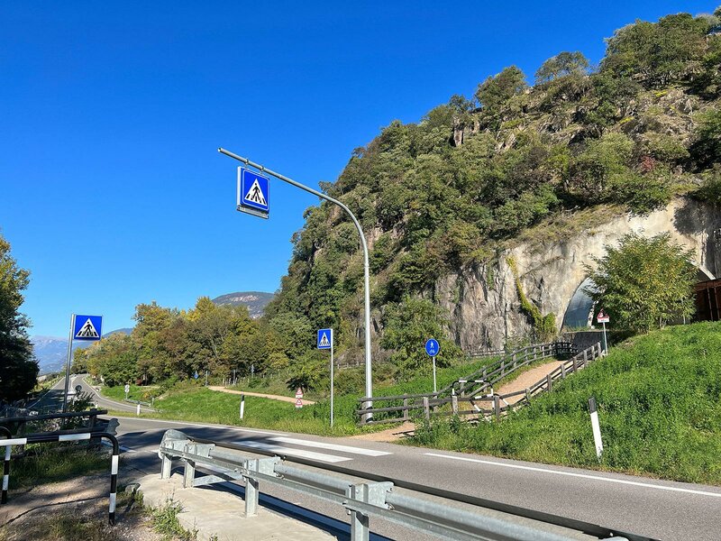
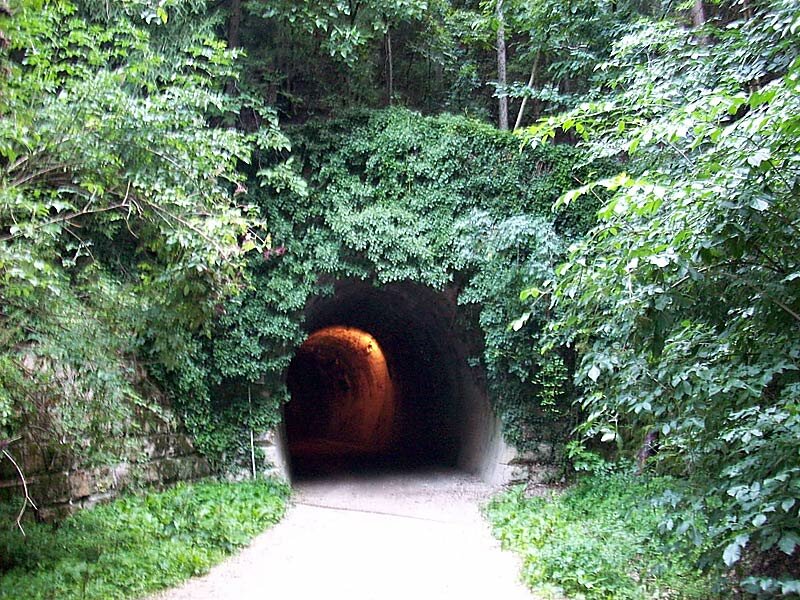
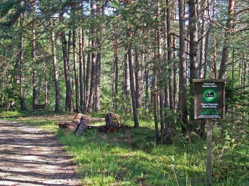
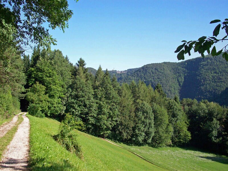
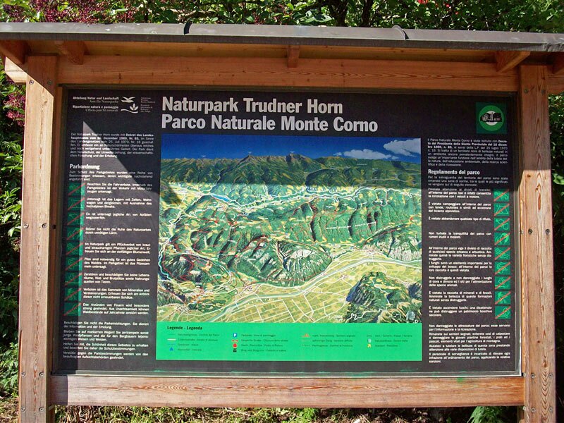
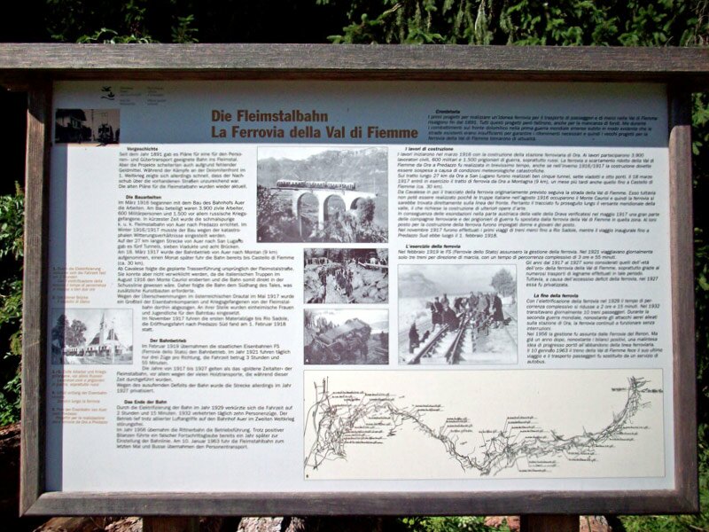
The route is legendary - it leads through wine-growing areas, deciduous and coniferous forests that are already part of the Monte Corno Nature Park - through tunnels and over viaducts. The railway line, which was built by Russian prisoners of war, had to overcome many difficulties and was built in just a few years under Austrian leadership. In the 1960s, the railway that connected the Dolomite valleys with the main towns in the valley was replaced by a regular bus service. The advantage of such a decommissioned railway line is the steady but constant gradient. Once you have found your rhythm, you can simply pedal on to the San Lugano pass. Extreme climbs are just as absent here as flat sections.
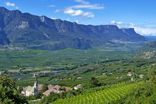
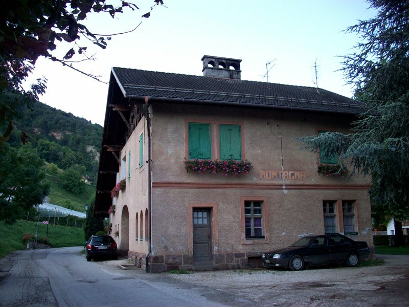
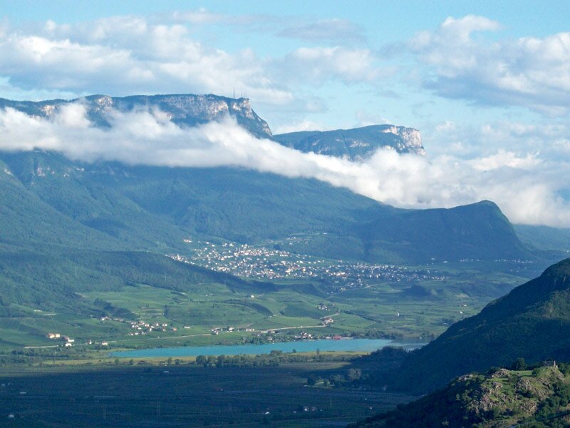
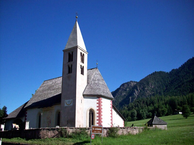
Interesting views include, for example, the Aldino Bridge (also called the 'Little Europe Bridge' because of its height), the vineyards near Montagna, the forests of the Monte Corno Nature Park and the old railway stations, relics of bygone times. By the way, the San Lugano pass is the border of South Tyrol - the Trentino begins here. Those who don't like the bumpy descent on the former railway line can alternatively take the Dolomite road. The lower section offers great panoramic views on the Adige Valley.
Author: AT
Experienced: April 2013
Last update: 2026
-
- Starting point:
- Parking space "Imbiss Castelfeder" between Egna and Ora
-
- Overall time:
- 02:20 h
-
- Total route length:
- 24,4 km
-
- Altitude:
- from 222 m to 1.126 m
-
- Altitude difference (uphill | downhill):
- +929 m | -29 m
-
- Signposts:
- Vecchia Ferrovia
-
- Destination:
- San Lugano
-
- Track surface:
- gravel road (short sections with asphalt)
-
- Recommended time of year:
- Jan Feb Mar Apr May Jun Jul Aug Sep Oct Nov Dec
-
- Download GPX track:
- MTB tour along the Vecia Ferrovia
We highly recommend checking the weather and trail conditions in advance and on site before starting this tour.