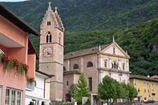
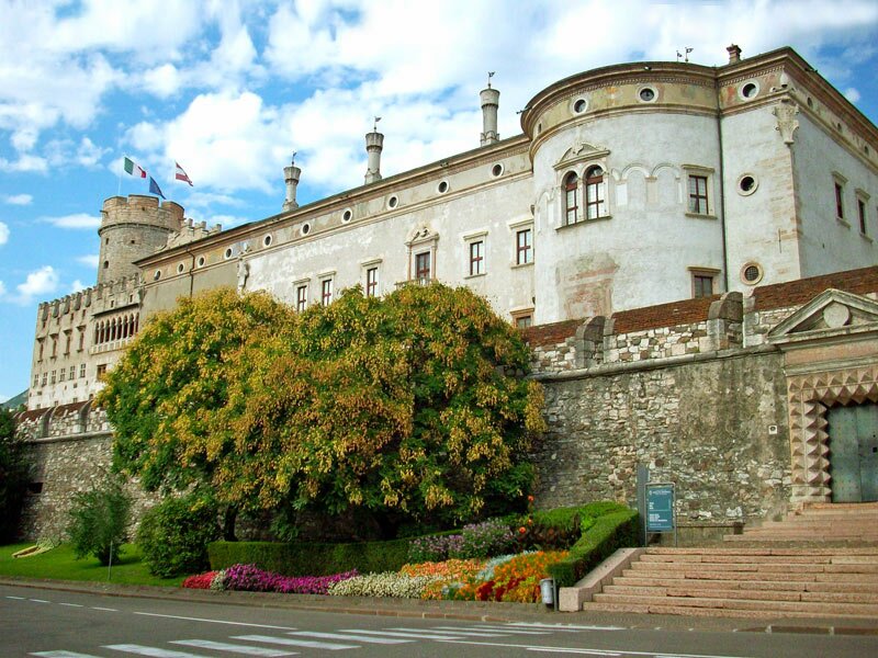
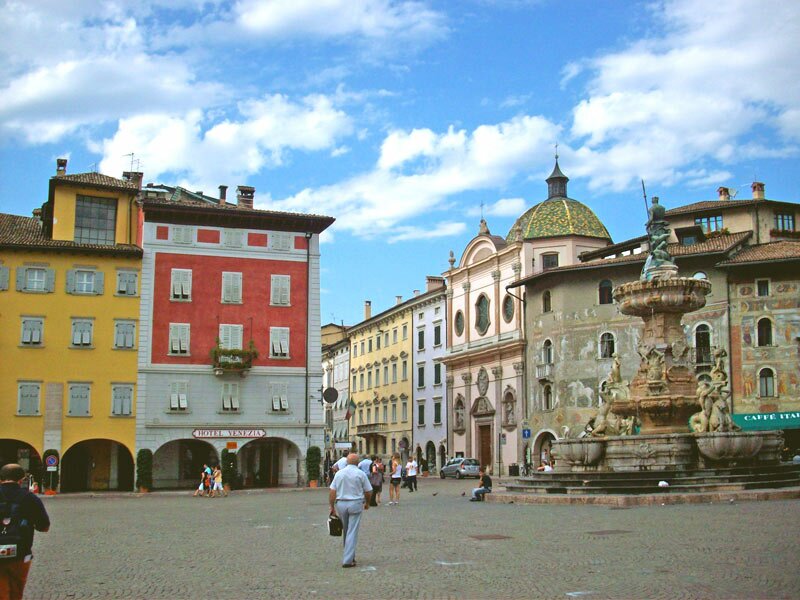
Along the course of the Adige river through the Bassa Atesina area to Trento, the main town of the Trentino and historic diocesan town
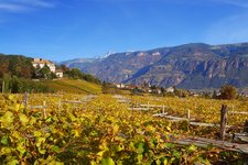
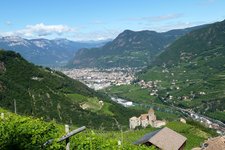
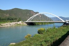
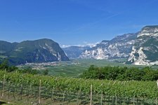
Image gallery: Bassa Atesina Cycle Route: Bolzano - Salorno - Trento
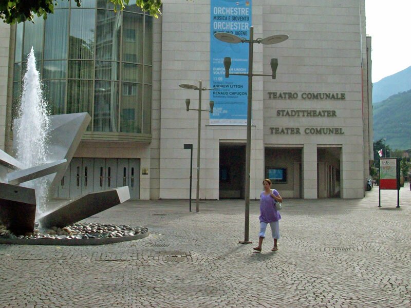
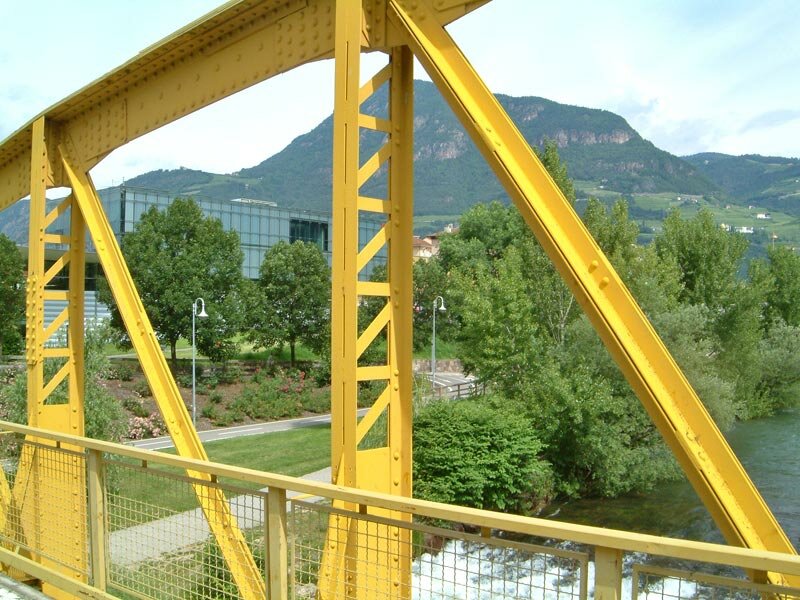
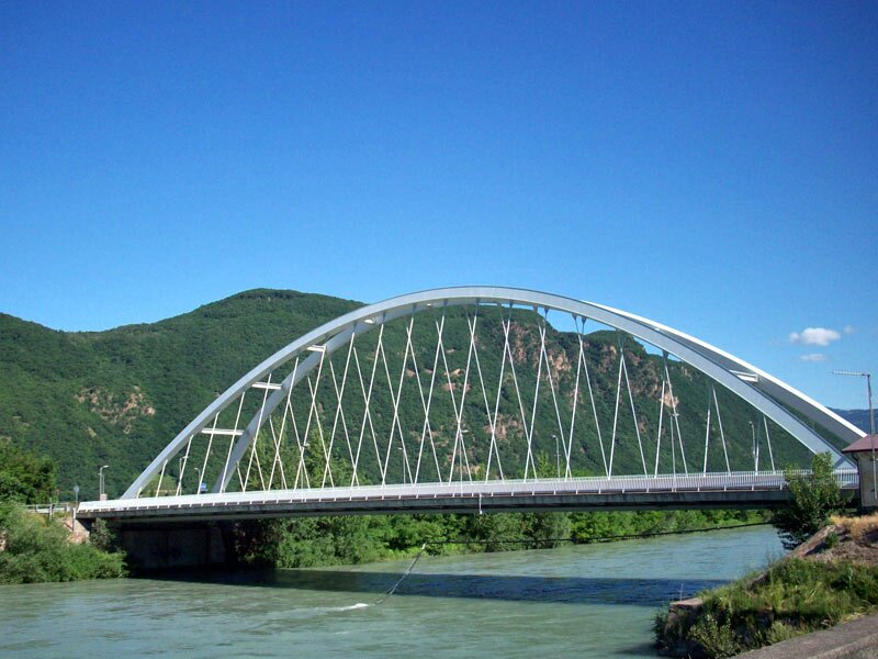
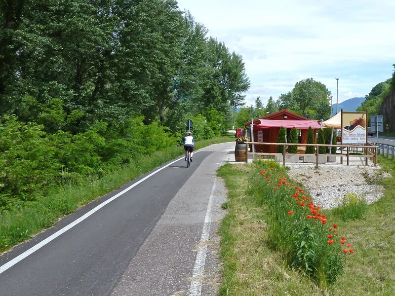
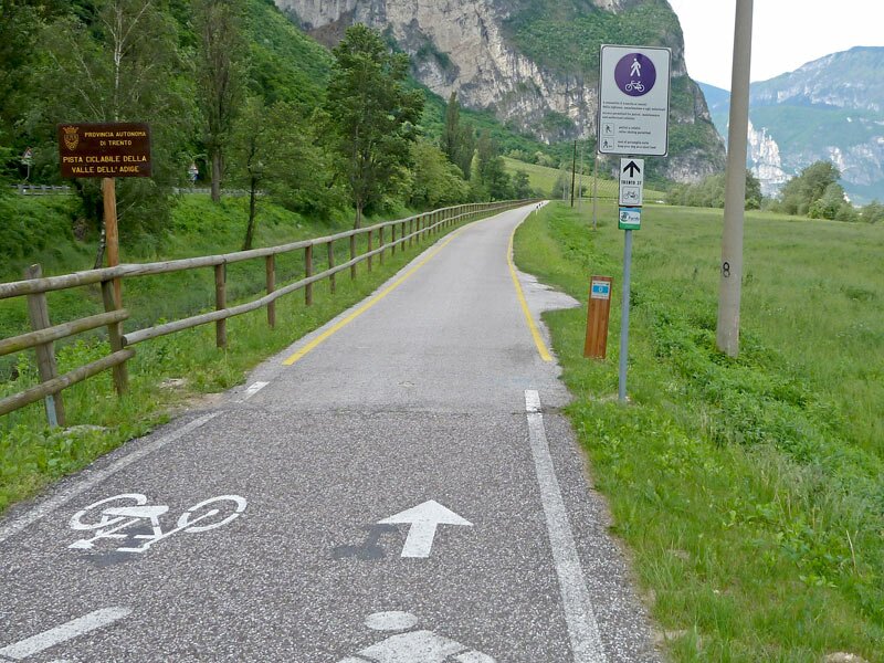

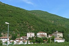
We start at the municipal theatre in the town centre of Bolzano and cycle towards the Loreto Bridge where we turn right onto the cycle track right before the bridge. Following the course of the Isarco river we head towards south. Soon we reach the junction towards Appiano and Merano, but we continue straight towards south. The following stage of the cycle route coincides with a section of the famous Via Claudia Augusta and the Adige Cycle Route. We cross a water meadow known as 'Ischia Frizzi' or 'Frizzi Au', a local bird sanctuary. South of the forest we cycle past the treatment facility and the Vadena Safety Park to the Vadena Bridge, a big white arch bridge over the Adige river. Right afterwards we turn off on the right and follow the eastern river bank towards south.
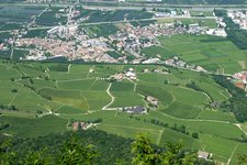
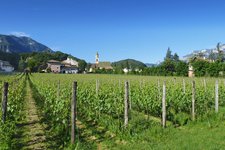
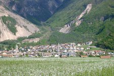
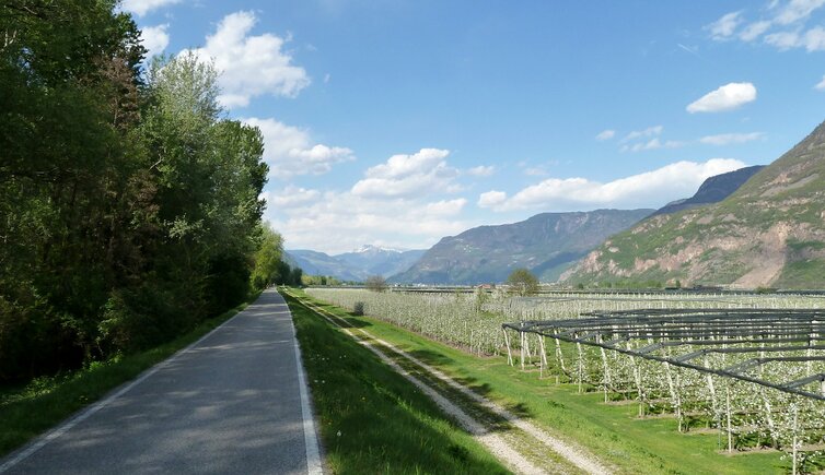
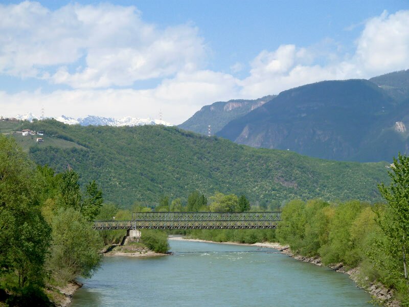
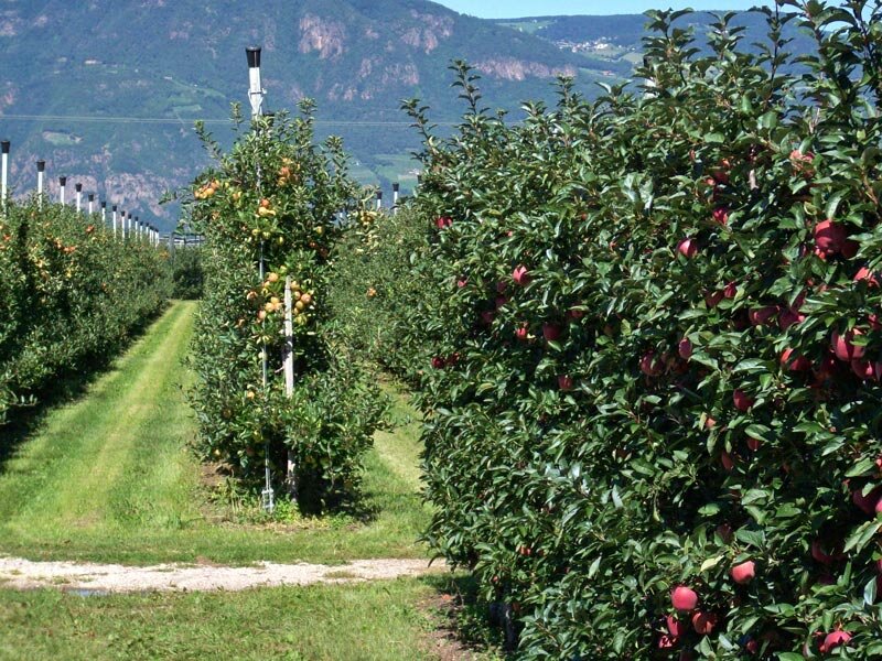
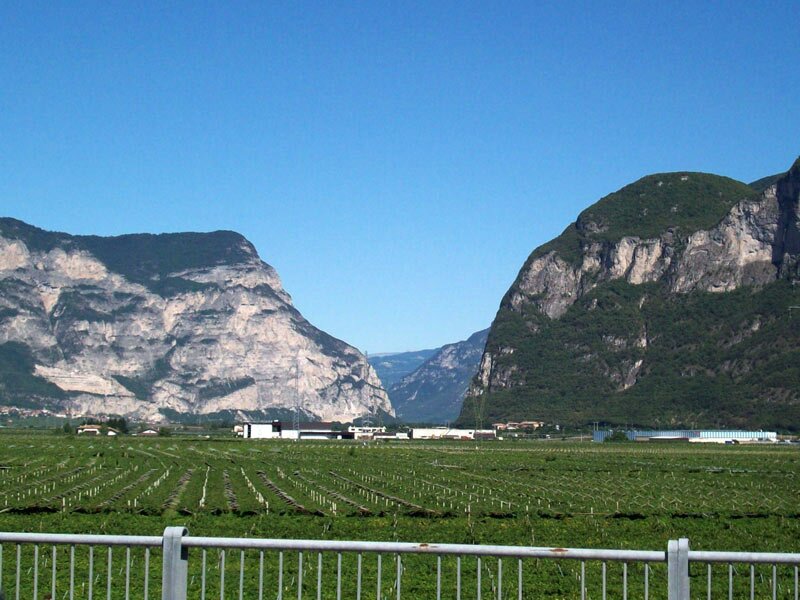
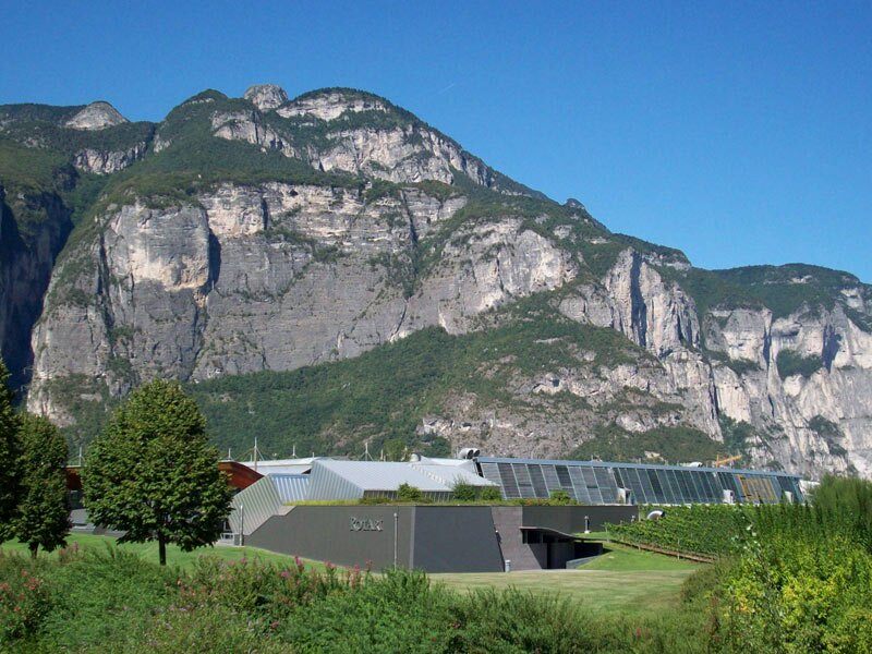
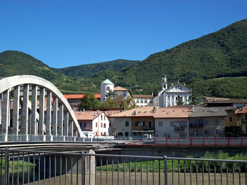
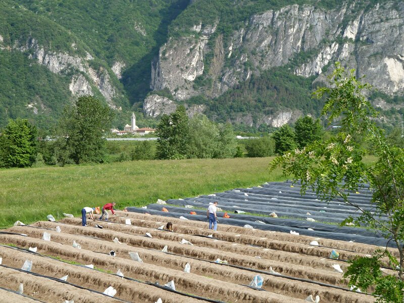
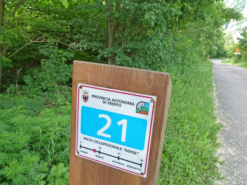
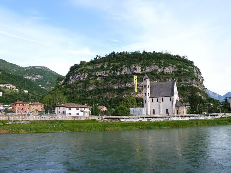
Near the village of Ora the cycle track crosses under the railway line before continuing between the Landgraben and the Adige river. Shortly before Egna the Bassa Atesina Cycle Route approaches the Brennero state road and a motorway junction - then it proceeds along the river bank through the fruit orchards past Laghetti and Salorno. At this point we reach the South Tyrolean border and cycle past the villages of Roveré della Luna, San Michele and Mezzocorona, all of them are already located in the Trentino. The Rotaliana Plain is an extensive wine-growing region, also the famous Teroldego comes from here - the wines are marketed under the label of 'Mezzacorona' by the local viticulture cooperative. Past Lavis we continue our cycling tour at the confluence of the Avisio river with the Adige river towards south, and the towers of the town of Trento already come into sight.
Author: AT
Experienced: May 2010
Last update: 2026
-
- Starting point:
- Bolzano (Piazza Verdi square)
-
- Overall time:
- 03:50 h
-
- Total route length:
- 65,6 km
-
- Altitude:
- from 185 m to 268 m
-
- Altitude difference (uphill | downhill):
- +54 m | -121 m
-
- Signposts:
- Bolzano - Trento Cycle Route
-
- Destination:
- Trento (town centre)
-
- Track surface:
- continuously asphalted path on the barrage
-
- Recommended time of year:
- Jan Feb Mar Apr May Jun Jul Aug Sep Oct Nov Dec
-
- Download GPX track:
- Bassa Atesina Cycle Route: Bolzano - Salorno - Trento
We highly recommend checking the weather and trail conditions in advance and on site before starting this tour.