The St. Oswald Promenade leads from Sant’Antonio to Roncolo Castle and finally to the vineyard slopes of Santa Maddalena
Image gallery: St. Oswald Promenade

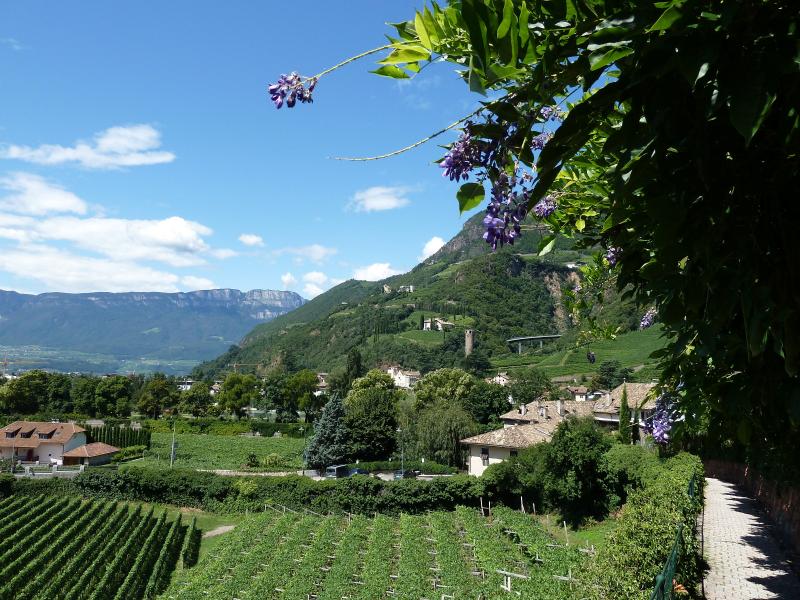
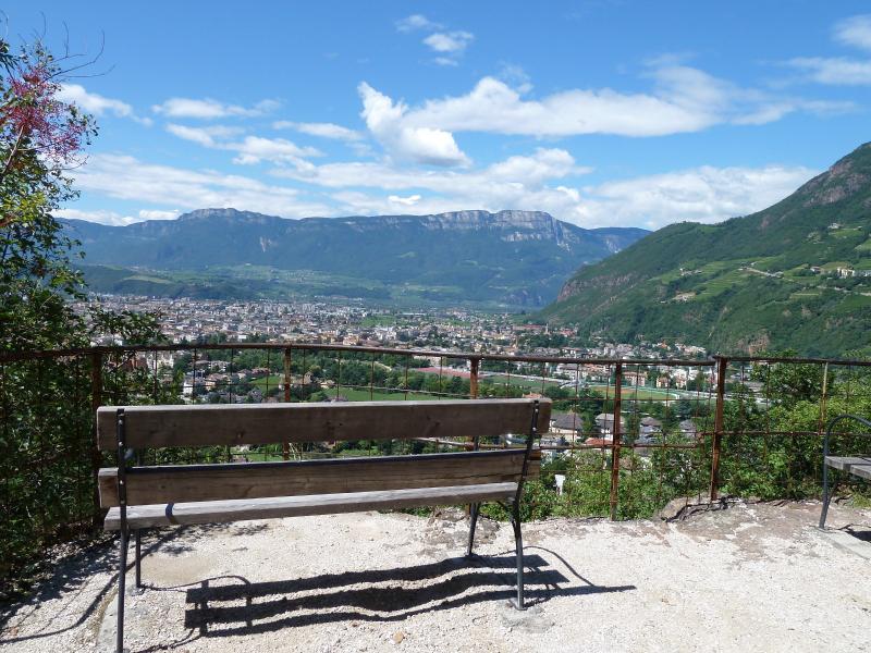
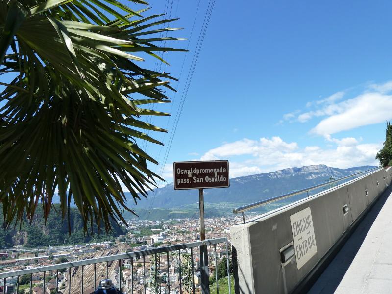
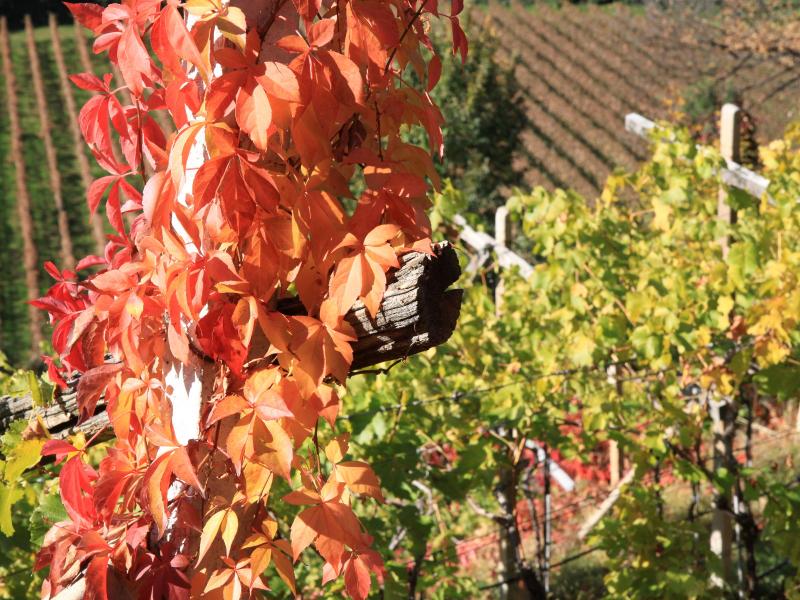
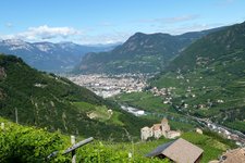
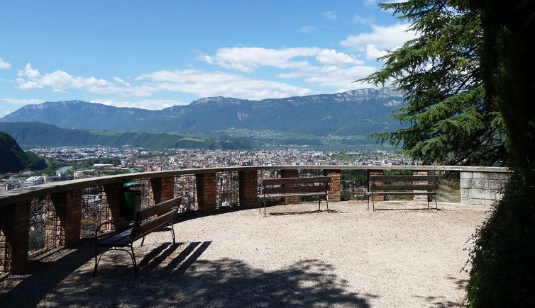
The St. Oswald Promenade proceeds in the north and east of Bolzano, between Sant'Antonio at the entrance to the Val Sarentino valley and the famous wine-growing area of Santa Maddalena. The path along the slopes of the Monte Tondo mountain dates back - such as the Guncina Promenade - to more than a century ago. Like the street at its foot, it was named after the late Romanesque little church of St. Oswald of Northumbria, which was damaged in an air raid in 1943 and of which only the supporting walls are now visible.
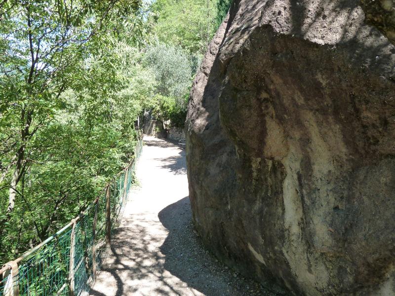
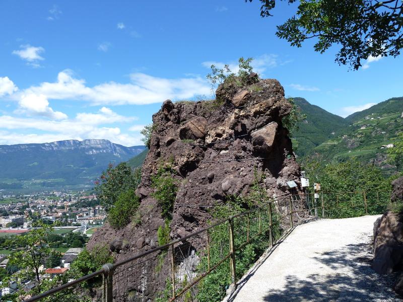
The promenade is lined by a mixed forest of downy oaks, fern-lead beeches and bushes from meridional realms growing on the porphyry rock. Information panels tell about the local flora and fauna and about the illustrious sons of the town, such as the architect Karl Ritter von Müller (1821 - 1909). Also two towers of porphyry conglomerate, similar to a pyramid, soar from the forest. These are called 'Wilde Mander' (Wild Men) and are typical for the St. Oswald Promenade.
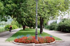
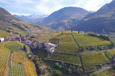
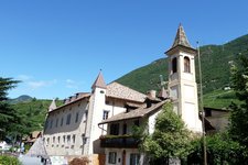
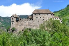
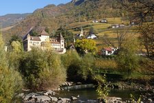
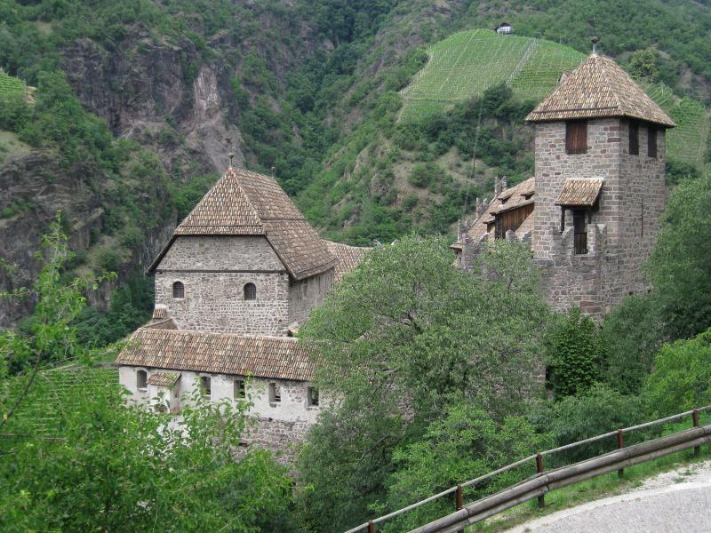
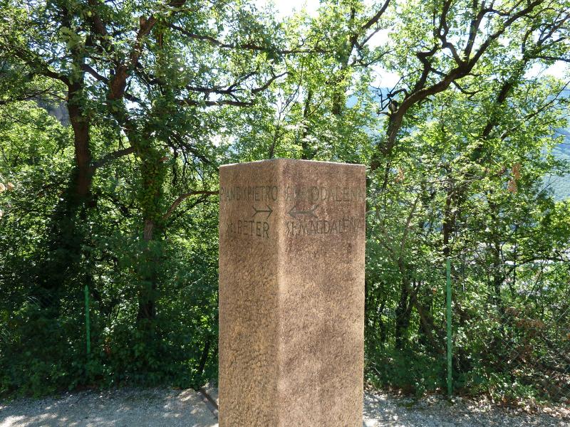
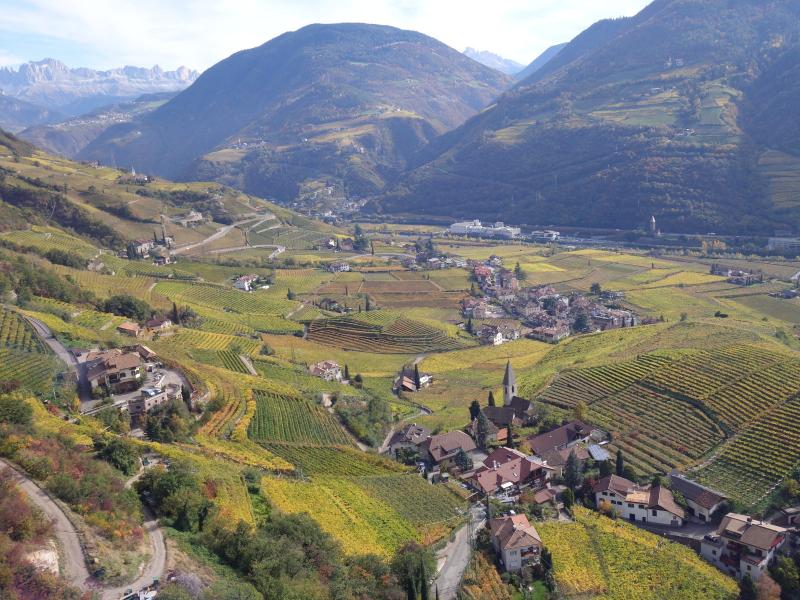
Starting point of the walk is the Lungotalvera Promenade near the Talvera Meadows which leads northwards to Sant'Antonio. From there, serpentines lead up the hill - this section can perfectly be combined with a visit to Castel Roncolo, the 'Painted Castle'. Finally the trail reaches the ex Eberle restaurant near Santa Maddalena, a picturesque winegrowing hamlet above the quarter of Rencio (375 m a.s.l.). The way back to the starting point follows the same trail, alternatively there are the urban buses passing and stopping at Rencio.
-
- Starting point:
- Sant'Antonio
-
- Overall time:
- 00:45 h
-
- Total route length:
- 2,3 km
-
- Altitude:
- from 307 m to 420 m
-
- Altitude difference (uphill | downhill):
- +113 m | -23 m
-
- Destination:
- S. Maddalena
-
- Recommended time of year:
- Jan Feb Mar Apr May Jun Jul Aug Sep Oct Nov Dec
-
- Download GPX track:
- St. Oswald Promenade
If you want to undertake this hike, we recommend checking the weather and trail conditions in advance and on site before starting this hike!