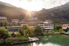
The Geo Trail in Termeno follows the Höllentalbach stream and leads through the vineyards of the wine village and its geological history
Image gallery: Höllental Geo Trail
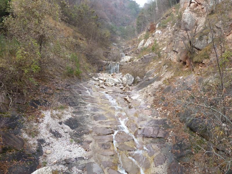
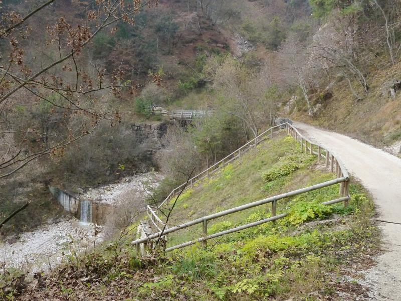
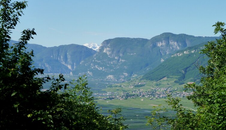
The Höllental Geo Trail (Sentiero geologico Valle dell'Inferno, in Italian) in Termeno is not a wine educational trail as such, but tells about the rock types in this area and also runs through the Mediterranean landscape of the Termeno vineyards. The gravel path follows the Höllentalbach stream and leads initially through the vineyard landscape, past a large boulder of limestone tuff with the wayside shrine of St. Nepomuk.
Further boards in the Höllental (literally: Hell Valley) tell of historical events, such as the mudslide in 1986, fossils, rock layers and a 245 million year long geological history, which can also be seen on the individual rock formations. A quiet spot then invites you to take a break and enjoy the view on the vineyards. The route can also be extended: Instead of walking back, simply follow path no. 10 to the Gummererhof tavern and then turn left onto path no. 4 (Zogglerwiese meadow) and return to the village via Sella and the Termeno Nature Experience Trail.
Contact info
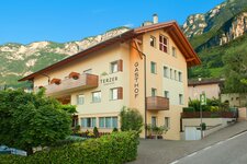
- Starting point: opposite the Hotel Winzerhof, Via Rechtenthal - 39040 - Termeno / Tramin
- +39 0471 860131
- info@tramin.com
Opening times
freely accessible
Admission
freely accessible
More information
walking time: approx. 30 minutes
trail length: 1.7 km
altitude difference: 135 m
altitude level: between 268 and 385 m a.s.l.