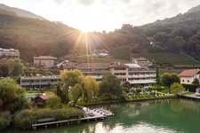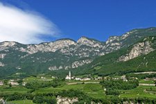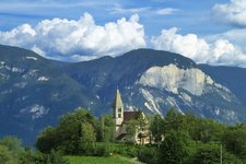
Mt. Corno di Tres (1,817 m a.s.l.) high above Favogna represents the highest point of the municipal territory of Cortaccia
Image gallery: Mount Corno di Tres
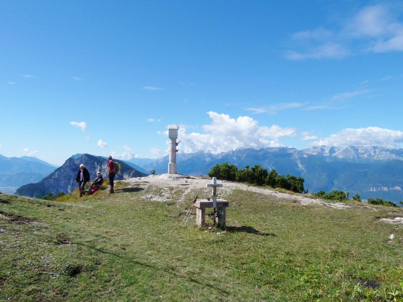
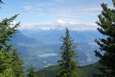
Mt. Corno di Tres marks the natural border between South Tyrol and the Trentino. Located between Mt. Roen in the north (2,116 m a.s.l.) and the Cima Roccapiana peak in the south-west (1,873 m a.s.l.), it represents the highest elevation in this part of the Mendola Ridge, divided between the municipalities of Cortaccia (South Tyrol) and Predaia (Trentino).
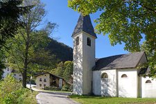
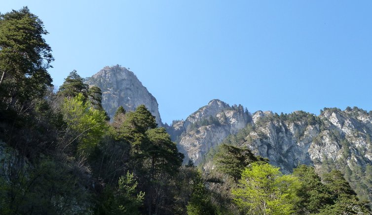
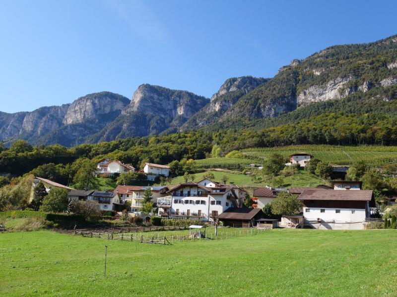
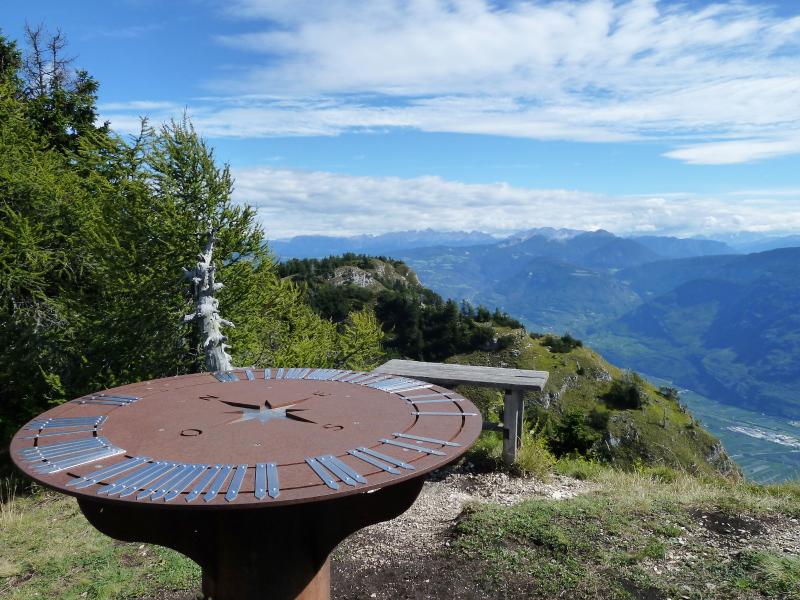
The hike to the top starts in South Tyrol from the hamlet of Corona (Graun), a component locality of Cortaccia. It is said that already the drive along the Wine Road and up to this small village is really worth the journey. From there, a 4-hour walk follows the Schönleitensteig path to the summit of Mt. Corno di Tres (Tresner Horn, in German). From the 1,812 m high peak you can see more of the Val di Non valley in the Trentino than from the South Tyrolean Bassa Atesina area, but you can descend on the steep Sattelsteig path to Fennhals: The views from this trail are stunning!