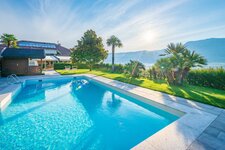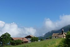
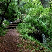
Short hike from the lovely hamlet of Casignano near Montagna to the Kanzel Viewpoint high above the Valle dell’Adige valley
Image gallery: Hike to the Kanzel Viewpoint
-
-
D-0718-gstoager-hof.jpg
-
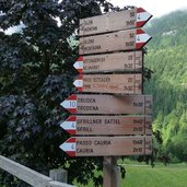
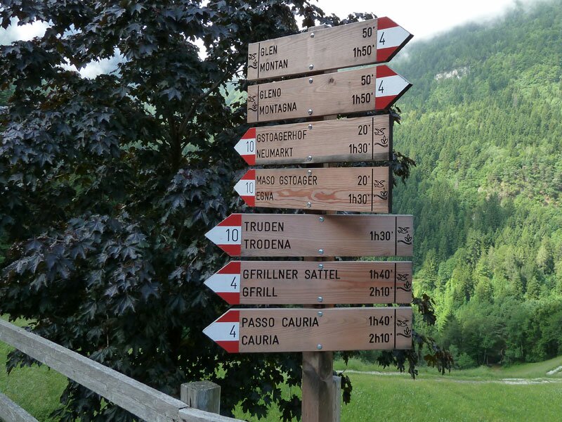
D-0719-wegweiser-gschnon.jpg
-
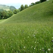
D-0724-blumenwiese-abstieg.jpg
-
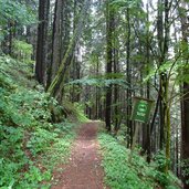
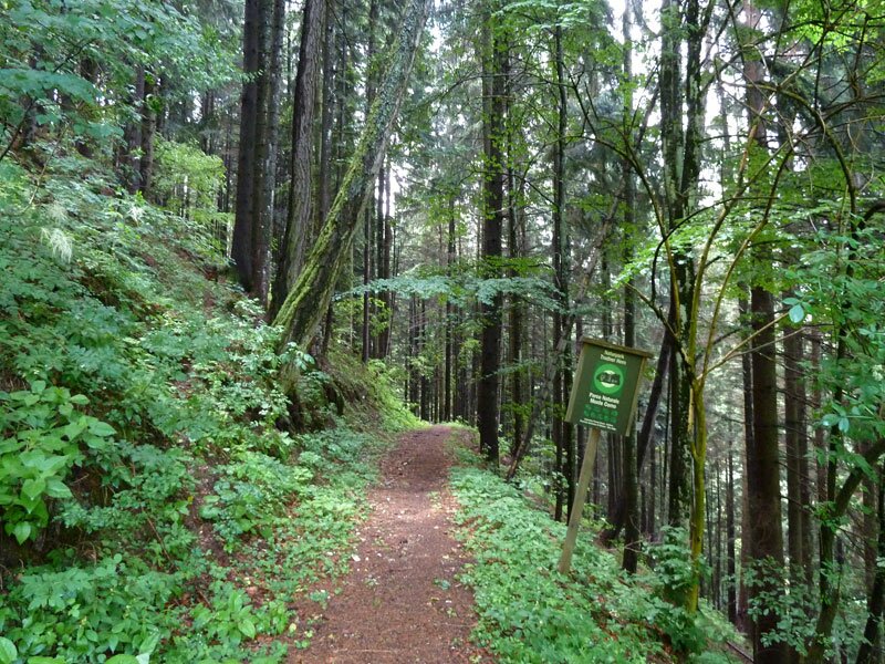
D-0730-waldweg.jpg
-
D-0735-bach-am-weg-zum-gstoager.jpg
-
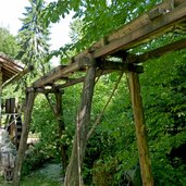
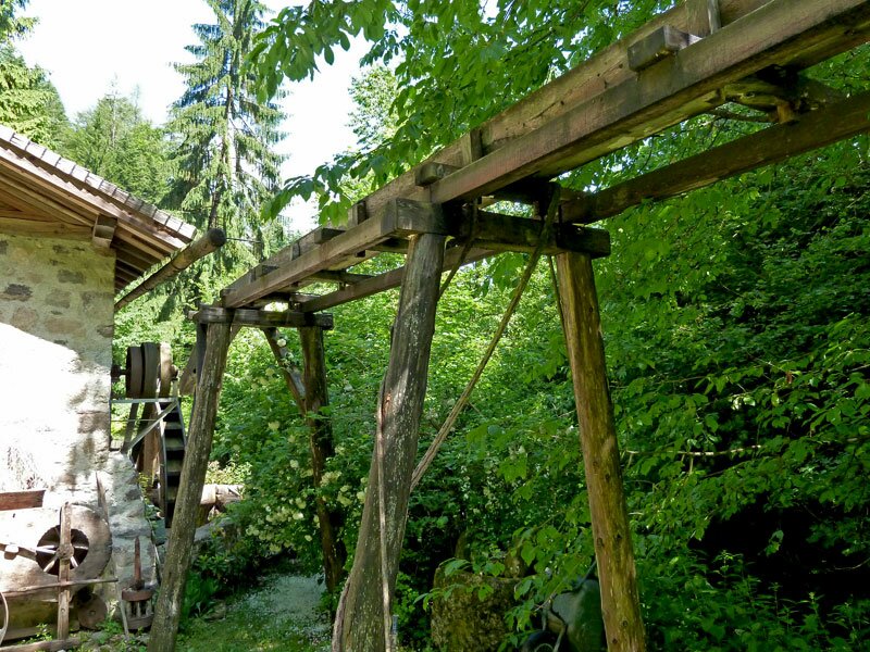
D-0745-muehle-am-weg-gschnon-gstoager.jpg
-
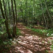
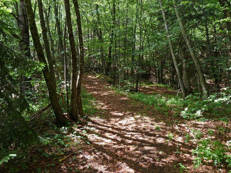
D-0754-waldweg-gstoager-kanzel-aufstieg.jpg
-
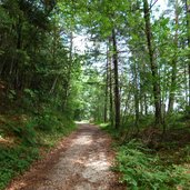
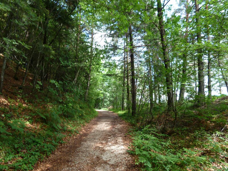
D-0764-waldweg-zur-kanzel.jpg
-
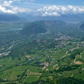
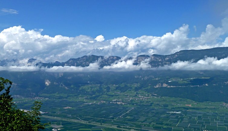
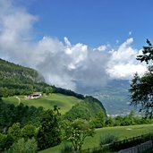
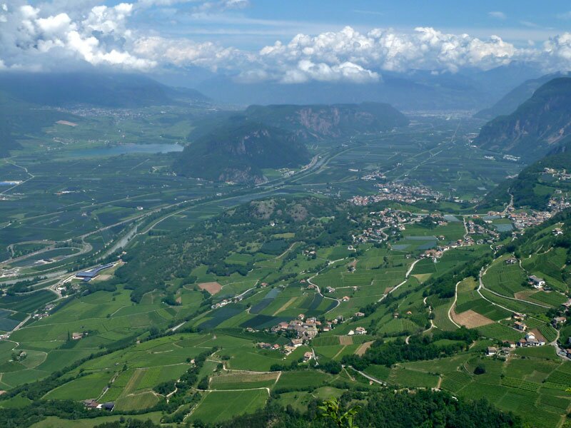
D-0790-kanzel-aussicht-unterland.jpg
-
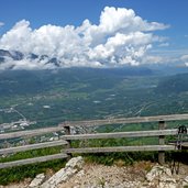
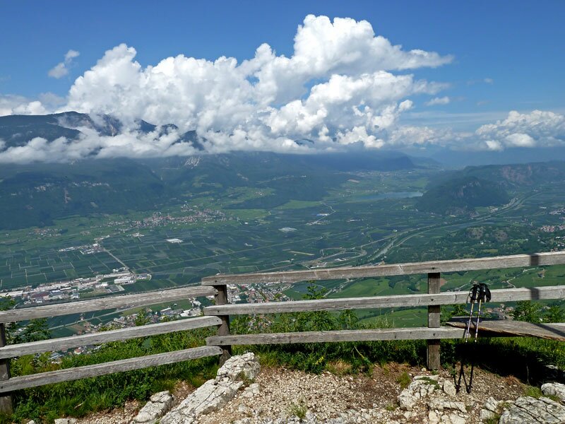
D-0806-kanzel-aussichtspunkt-gschnon.jpg
-
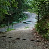
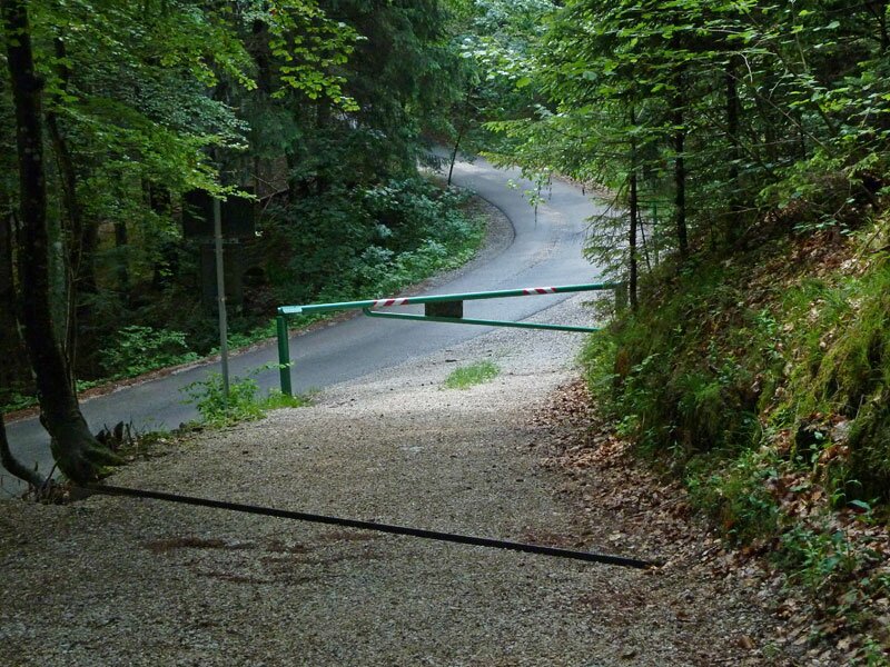
D-0831-kanzel-rueckweg-asphaltweg.jpg
-
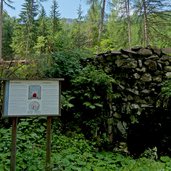
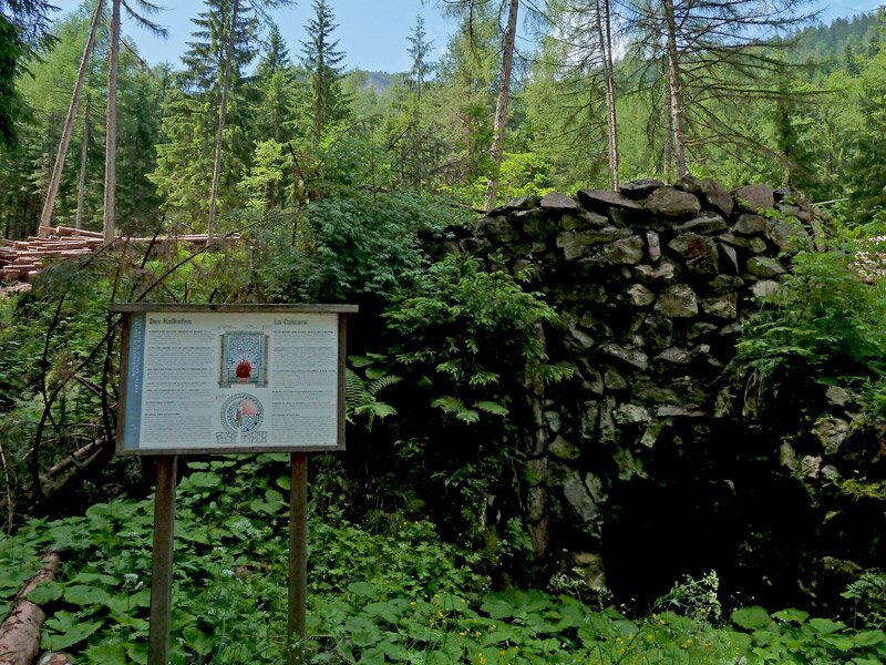
D-0834-kanzel-rueckweg-kalkofen.jpg
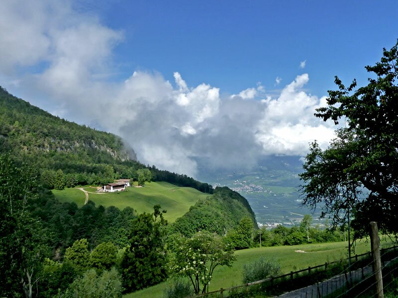
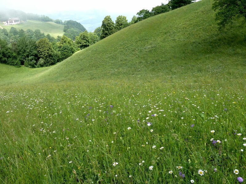
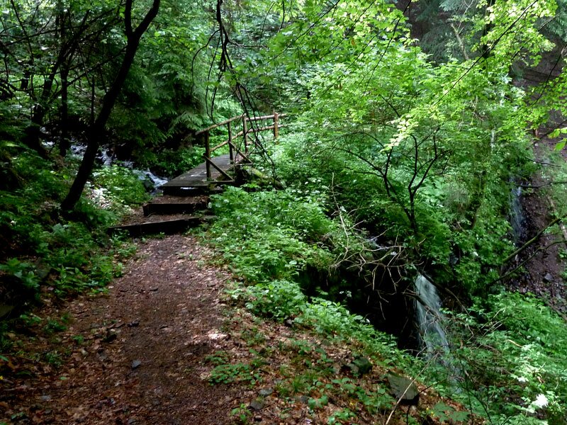
We reach Casignano (Gschnon) by car following the small road from Montagna to Gleno and Trodena. The junction near Molini (Mühlen) leads us to the southern side of the valley and to the small hamlet at 900 m a.s.l. At the Dorfnerhof tavern we start our hike following the path through the meadows and the forest to the Gstoagerhof.
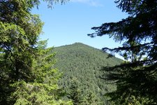
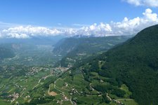
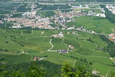
Right before the farm we walk in serpentines uphill at the slope - it's a short steep section before we reach the forest road to the Kanzel Viewpoint. This special place offers a fabulous view on the Bassa Atesina area with Lake Caldaro and the town of Bolzano. On the way back we follow the forest path to the junction with the asphalt road which takes us back to our starting point again.
Author: AT
-
- Starting point:
- Casignano
-
- Time required:
- 02:00 h
-
- Track length:
- 5,3 km
-
- Altitude:
- from 897 m to 1.013 m
-
- Altitude difference:
- +146 m | -146 m
-
- Route:
- Casignano - Gstoagerhof - Kanzel - Casignano
-
- Signposts:
- Kanzel, 3A
-
- Destination:
- Kanzel / Pulpito
-
- Resting points:
- Dorfnerhof, Gsteiger
-
- Recommended time of year:
- Jan Feb Mar Apr May Jun Jul Aug Sep Oct Nov Dec
-
- Download GPX track:
- Hike to the Kanzel Viewpoint
If you want to do this hike, we suggest you to check the weather and trail conditions in advance and on site before setting out.