The Roen is a 2,116 m high mountain, where physical fitness and true hiking enthusiasm are needed
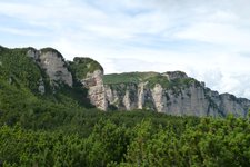
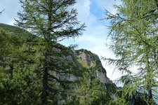
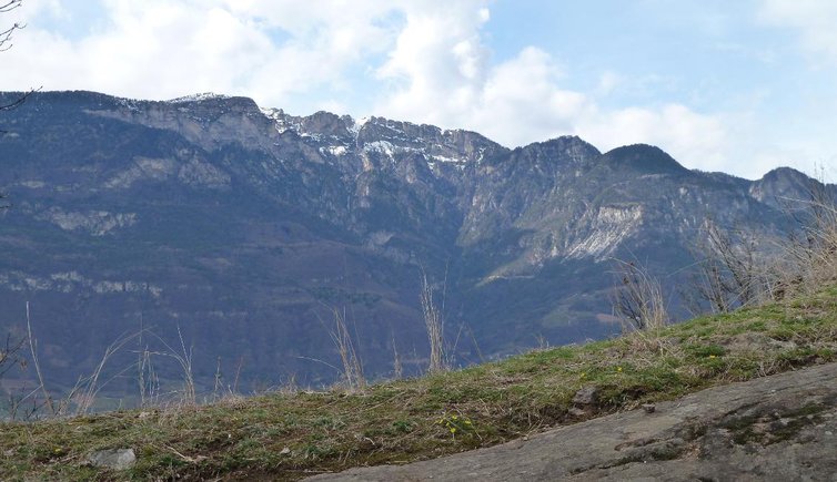
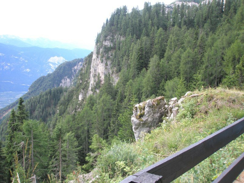
Image gallery: Hike from Termeno to the Monte Roen


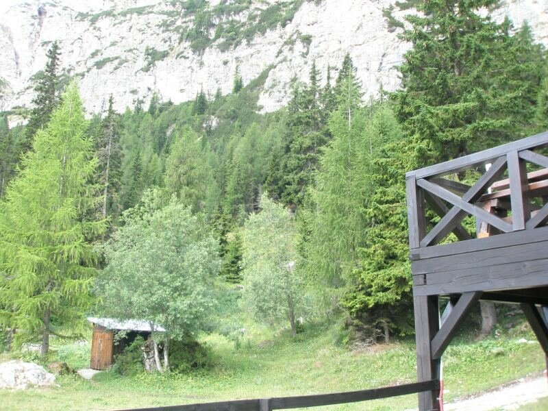
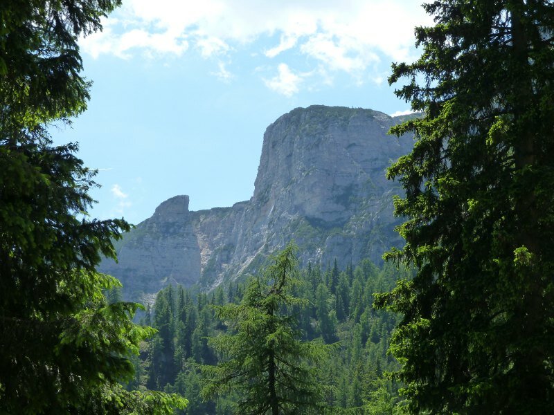
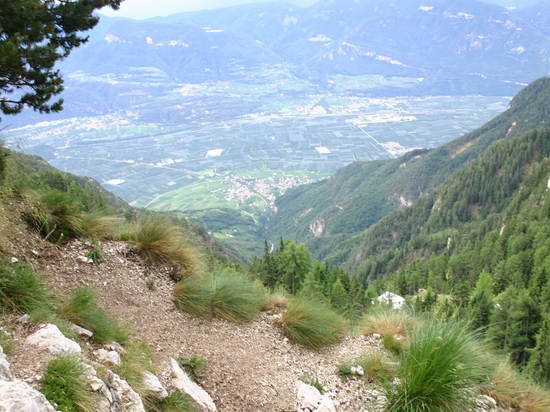
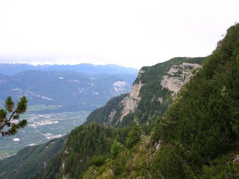
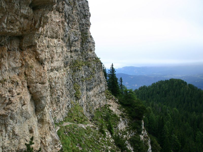

The difference of altitude amounts to 1,840 m and the estimated walking time adds up to 8-9 hours. We start in Termeno Rechtenthal and hike to the Gummererhof farm inn. Then we continue on path no. T/10 until we reach the Rif. Oltradige (Überetscher Hütte). From here, the climbing route no. 523 takes you to the summit of Mt. Roen. Here we enjoy a stunning scenery and a breathtaking view!
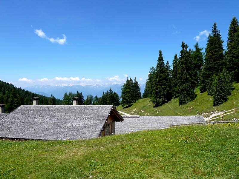
On our way back we follow the signpost Romeno Alm, pass again the Rifugio Oltradige al Roen mountain hut - or walk across the Giovo di Coredo - and continue on path no. 501 - or path no. 6 - towards Termeno. Sturdy shoes are obligatory!
Experienced: June 2010
Last update: 2026
-
- Starting point:
- Rechtenthal near Termeno
-
- Overall time:
- 08:00 h
-
- Total route length:
- 16,2 km
-
- Altitude:
- from 352 m to 2.116 m
-
- Altitude difference (uphill | downhill):
- +1843 m | -1843 m
-
- Signposts:
- no. T/10, 523, 501, 6
-
- Destination:
- Roen
-
- Resting points:
- Rifugio Oltradige, Romeno mountain hut
-
- Recommended time of year:
- Jan Feb Mar Apr May Jun Jul Aug Sep Oct Nov Dec
-
- Download GPX track:
- Hike from Termeno to the Monte Roen
We highly recommend checking the weather and trail conditions in advance and on site before starting this tour.